
Haghpat Monastery
Haghpat is easy to describe badly. From the right angle it is a picturesque cluster of grey stone buildings on a green shelf, and most accounts stop there, or reach for the words a visitor half expects: ancient, remote, timeless. None of them helps much. What matters about Haghpat is that it was a working institution for centuries. Almost everything standing there was built to do a job, and the jobs changed over time. A church came first. Then came somewhere to keep books, somewhere to eat, somewhere to gather and be buried, somewhere to ring a bell from. The buildings record those decisions, and you can still read them.
- Author
- Armat Editorial Team
- Updated
- Reading time
- 22 min read
In brief
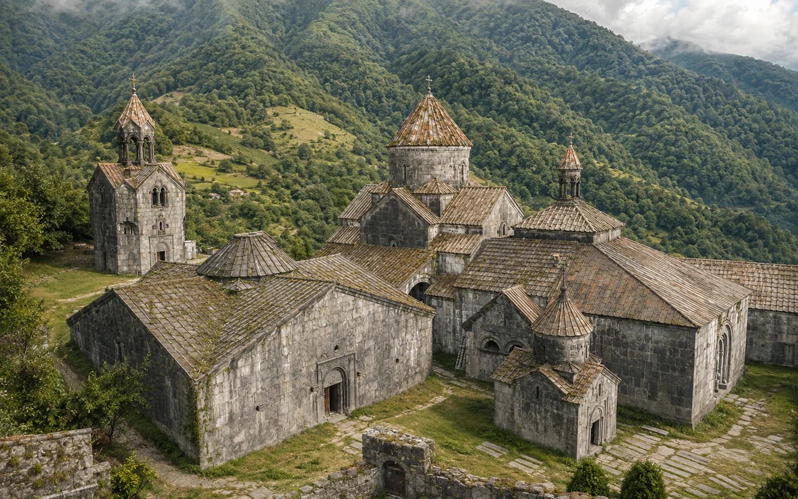
Haghpat Monastery stands on a shelf of high ground above the Debed gorge in Lori, in the north of the Republic of Armenia. It was founded in the tenth century under the Bagratid king Ashot III, and its main church, Surb Nshan, was finished in 991 to designs attributed to the architect Trdat. Haghpat is unusual because it kept growing. Over three centuries a library, a refectory, a bell tower, a gavit and a series of chapels were added, and together they show what a large medieval Armenian monastery needed in order to function. With Sanahin, about four kilometres away, it forms one World Heritage property.
Key facts
- Kind of place
- Monastery of the Armenian Apostolic Church, and a medieval centre of learning
- Where
- Above the Debed gorge, by the village of Haghpat, Lori Province, northern Armenia
- Principal church
- Surb Nshan, the Holy Sign, completed in 991 — the design attributed to the architect Trdat
- Founded by
- Queen Khosrovanuysh, wife of the Bagratid king Ashot III, for her sons Smbat and Gurgen
- Built over
- Roughly three centuries, with most of the surviving buildings other than the church added in the thirteenth
- World Heritage
- Inscribed alone in 1996; Sanahin was added by extension in 2000 and the two now form one property
Haghpat in Lori
Haghpat stands in Lori, the northern province of the Republic of Armenia, on a shelf of high ground on the eastern side of the Debed valley. This is the archive's first article about anywhere in Lori, so first, where that is. Lori lies north of Yerevan, close to the border with Georgia, in country that is greener, wetter and more wooded than the volcanic uplands where most of Armenia's better-known monuments stand. The Debed has cut a deep gorge through it, and much of Lori's history has happened along that cut.
The monastery sits neither on a peak nor at the bottom of the gorge. It occupies a broad terrace part way up the eastern side, high enough to see a long way down the valley and level enough for a large group of buildings. The village of Haghpat adjoins it directly, and that matters. Haghpat was a landholding institution with its own settlement, far from an isolated hermitage, and heritage protection treats the village as part of the monument's setting.
About four kilometres away, on the other side of the gorge, stands the monastery of Sanahin. The two are almost always named together, and since 2000 they have shared a single World Heritage inscription. Still, they are separate places, and this article is about Haghpat. Sanahin comes in below only where the comparison helps explain something.
Foundation under the Bagratids
Haghpat belongs to a period of recovery. Armenian building had largely stopped during the Arab occupation that began at the end of the seventh century. It resumed once Armenian kingship was re-established under the Bagratid house at the end of the ninth. Haghpat and Sanahin grew out of that revival, and both were royal foundations, not the work of a local community.
The sources name the founder as Queen Khosrovanuysh, wife of the Bagratid king Ashot III, and the church was dedicated for her two sons, Smbat and Gurgen. The detail counts for more than decoration. Smbat later took his father's throne at Ani, and Gurgen inherited the smaller kingdom in Lori, whose line is known as the Kiurikian. In other words, the family that ruled the region built Haghpat for itself, and the monastery stayed tied to them.
The foundation date is less settled than it looks. UNESCO's documentation gives 976 for the founding of the monastery by Khosrovanuysh. The specialist architectural survey of the site, and the advisory evaluation that drew on it, say instead that work on the church began in 966 or 967. Both dates are in print, and writers repeat one or the other with confidence, depending on which source they follow.
The earlier source itself offers a way to test them. The survey says the church was finished in 991 and that the work therefore lasted fifteen years. That sum fits a start in 976 and does not fit one in 966. The safest conclusion is that the 991 completion is firm, since it rests on an inscription on the north side of the church, while the start date is not. This article treats the tenth century as the period of foundation and 991 as the one date the building itself supplies.
Surb Nshan
The main church is Surb Nshan, the Holy Sign, and it is the oldest building standing at Haghpat. It is of a type usually called the domed hall: a roughly rectangular building, slightly longer than it is wide, with a cross-shaped space inside and a central dome carried on four heavy piers built into the side walls. The outer walls are cut almost all over with the narrow triangular niches typical of Armenian church building in this period.
Tradition attributes the design to Trdat, the Armenian architect of the age about whom most is known. He worked for the Bagratids in the later tenth and early eleventh centuries and built the cathedral at Ani, and he was the man called to Constantinople to rebuild the dome of Hagia Sophia after the earthquake of 989. At Haghpat the attribution rests on tradition alone, since no signed inscription backs it. Even so, the piers here resemble those at Ani closely enough that the surveys take it seriously.
On the east front, set in a rectangular niche, is a carved panel of two figures in court dress. They face each other and hold a model of the church between them. These are the founder's sons, and here the sources disagree over a name. The UNESCO statement calls them Smbat and Gurgen, while the earlier advisory evaluation calls them Smbat and Kiurike. The gap is smaller than it looks, because Gurgen is also known as Kiurike and the Kiurikian line is named after him. Still, a reader meeting the two accounts side by side could fairly assume they described different people.
The church is often said to survive unchanged. That is close to true, but not quite. The survey records repairs in the eleventh century and again at the end of the twelfth, and suggests that a band of carved stone near the top of the dome dates from the later of these. Inside, the apse keeps the earliest layer of its painting, with Christ enthroned as the main composition. Any building that has stood for a thousand years in an earthquake zone has been worked on, and Haghpat is no exception.
A monastery built over centuries
Almost everything at Haghpat apart from Surb Nshan is later than the church, and most of it much later. The small church of Saint Gregory was built between 1005 and 1025, and it did not stay as designed: in the thirteenth century its dome was replaced by a barrel vault. Placed symmetrically to the north is a chapel of the Holy Virgin, built in the thirteenth century with a grant from a princess named Khatun.
The site took the shape visitors see today in the thirteenth century. The bell tower went up in 1245 on the highest ground in the complex. It has three storeys: a cross-shaped plan at the bottom, an eight-sided storey above it, and at the top an open rotunda of columns carrying the bells. A large hall known as the building of Abbot Hamazasp was added in the same century. UNESCO dates it to 1257, while the architectural survey gives only the century and the abbot's name. The refectory, which stands apart from the main group, is also thirteenth century.
Two further additions are easy to miss but tell a great deal. The space between the church, the Hamazasp hall and the library was roofed over and turned into a burial vault. A second, corridor-shaped tomb chamber was formed along the eastern side of the church. A community builds over the gaps between its buildings when it has run out of room and has no intention of moving.
Put the buildings side by side and the list explains itself. A church is for worship. A refectory means a community eating together under a fixed rule. A library and a scriptorium mean books being kept and made. A gavit means assembly, teaching and burial. A bell tower means a timetable heard across the valley. Walls and towers mean property worth defending. Haghpat is the physical record of a community that did all of these things at once, and kept needing more room to do them.
The gavit
The most distinctive building at Haghpat is its gavit. The word has no neat English equivalent. Translating it as narthex, cloister or chapter house misleads more than it helps, because those terms name European buildings with different functions. A gavit is a large hall built against the west end of an Armenian church. The surveys describe it as serving three purposes at once: the community assembled there, novices were taught there, and the dead were buried there. UNESCO's documentation does call it a narthex, which is useful to know when comparing accounts.
The form comes from house building. The roof rests on four free-standing columns in the middle of the floor, an arrangement borrowed from the timber houses of the region. Pairs of arches spring across the space from opposite sides and cross one another, dividing the ceiling into nine compartments. The central one, the yerdik, is raised above the rest and left open, so it both lights the hall and lets smoke out. At Haghpat the system is doubled, with a second set of arches lifting the lantern higher still.
Its date is the biggest open question at the site. The architectural survey places the gavit in 1310 to 1320, on the site of an earlier Kiurikian funerary building of 1185 associated with Mariam, a daughter of King Kiurike. UNESCO's statement and the advisory evaluation both put the hall itself in the second decade of the thirteenth century and attribute it to Princess Mariam. The two datings are a century apart. The likeliest explanation is that one account has merged the patron of the earlier building with the date of the later one. This article does not choose between them.
What is certain is who lies beneath it. The floor of the gavit is paved with the gravestones of the Kiurikian family. Whichever century the hall was built in, the family that founded the kingdom in Lori was still burying its dead at Haghpat, and the building exists partly to hold them.
Books, teaching and the library
Haghpat's book repository survives. It is a compact square room, roofed with the same crossing arches as the larger halls and lit from a central opening, with niches cut into the walls where the manuscripts were stored. Both its name and its date are unsettled. The architectural survey calls it the library and dates the original structure to the twelfth century. UNESCO calls it the scriptorium, puts it in the eleventh and adds that it was substantially rebuilt in the thirteenth. The difference matters, because a room for keeping books and a room for copying them are two different claims.
Haghpat is often called a university, but the word brings with it faculties, degrees and a charter, and none of these existed here. The sources point to a monastic school teaching within a religious community, alongside the copying and keeping of manuscripts. That was a considerable achievement, though not a modern one. By contrast, the later school at Tatev did grow into something closer to a formal centre of higher study, which shows how wide the range could be inside Armenia itself.
One name is regularly linked with Haghpat: Hovhannes Sarkavag, called Imastaser, the Philosopher, a scholar of mathematics, calendar reckoning, theology and hymnody who lived from about 1045 to 1129. The biographical literature has him studying and later teaching at Haghpat, and his tomb is pointed out at the monastery. The link deserves mention, with a caution. Neither the architectural survey used here nor the UNESCO documentation names him, and this article has not been able to check the claim against a source that would settle it. The advisory evaluation does say the two monasteries together housed some five hundred monks. That figure comes from the document alone, and no one can now verify it with a headcount.
The Zakarian century
The thirteenth-century building campaign took place under a new political order. After the Seljuk period, the Zakarian princes governed northern Armenia within the Georgian kingdom. Under them came a general revival, and monasteries gained patrons, land and buildings at a pace not seen since the Bagratids. Haghpat's bell tower, its refectory, the Hamazasp hall, the burial vaults and most of its chapels all date from this time.
It is tempting to credit all of it to the Zakarians as a family, but the sources do not support that. The patrons who can actually be named appear as individuals, and local ones: an abbot, Hamazasp, whose hall carries his name, and a princess, Khatun, whose grant paid for the chapel of the Virgin. At this site, credit is best assigned building by building, from inscriptions, and least reliably as a general claim about a dynasty.
The period also produced a fortress. Kayanberd was built in 1233 on high ground about a kilometre west of the monastery, and the advisory evaluation states plainly that its purpose was to watch the approaches to Haghpat and Sanahin. That a monastery was worth building a castle for shows clearly what these houses had become: landholders, treasuries and centres of population as well as places of prayer.
Khachkars and inscriptions
A khachkar is an upright stone slab carved with a cross and, usually, with dense interlace around and beneath it. Khachkars were raised as memorials, as thanks, or to mark a foundation or a gift, and they are among the most characteristic Armenian objects of the medieval centuries. Haghpat has a number of them, along with the tombs of several families.
The best known is the khachkar called Amenaprkich, the Redeemer, carved in 1273 and standing near the northern entrance of Surb Nshan. Both the architectural survey and the UNESCO documentation single it out, and the survey calls it an outstanding example of Armenian medieval sculpture. This article leaves the ranking there and does not repeat the superlatives that circulate about it.
Inscriptions are the reason any of this can be dated at all. The completion of Surb Nshan in 991 is known from a text on the north side of the church, not from a chronicle. The khachkar carries its own year. The buildings that lack an inscription are exactly the ones the sources disagree about. When a monastery like this seems to have a confident chronology, it is usually because someone stood in front of the walls and read them.
Haghpat in changing political worlds
Haghpat outlived the kingdom that built it. The powers that followed are easy to compress into a list of disasters, but that blurs four different things: conquest, damage, abandonment and rebuilding. They did not always arrive together.
There was certainly damage. The advisory evaluation records that the monastery was taken and burned in 1105 by a Seljuk commander it names as Amir-Ghzil, and that Kayanberd, built to protect the two houses, was itself stormed in 1241 during the Mongol campaigns. Earthquakes have also shaken the site again and again: it stands in an active seismic zone, and earthquake damage is recorded more than once.
But Haghpat did not meet the end that the word sacked usually implies. Monastic life went on after 1105 and after 1241. Most of the buildings standing today went up after the first of those dates, and around or after the second. A change of overlord did not automatically empty an Armenian monastery. At Haghpat, the thirteenth century was politically the most turbulent and also the most productive.
Later centuries left fewer traces. Building activity fell away, and the next clearly documented phase is a series of repairs in the seventeenth century, dated to 1651, 1676 and 1677. The monastery stayed in use through the Persian and later Russian periods. Today it is still a church of the Armenian Apostolic Church, which owns it.
The monastery and the Debed
The Debed gorge explains why the monastery stands where it does. A monastery needed defensible ground, water, workable land and a position on a route, and the terraces along this valley offer all four. The gorge also explains the pairing with Sanahin. The two houses face each other across it, close enough to be spoken of together, yet far enough apart to have been independent institutions, each with its own patrons and history.
The valley below is now industrial. Alaverdi, the town at the foot of the gorge, has been a centre of copper mining and smelting since the nineteenth century. The UNESCO assessment lists pollution of the surrounding environment among the threats to the property, along with seismic activity and pressure from visitors. That is an unusual sentence to find in a description of a medieval monastery, and an accurate picture of where Haghpat actually sits.
Here the landscape is more than a backdrop. UNESCO's assessment of the property treats the setting as part of what is protected, and for the same reason the surrounding village is subject to planning control. The reasoning is that the buildings were composed in relation to the ground they stand on, and that cutting them off from it would leave less than what was inscribed.
Conservation and World Heritage
The seventeenth-century repairs were the first documented campaign. The next came in Soviet Armenia: the republic's monument preservation committee began work in 1939 and 1940, and a much larger programme ran from 1960 to 1980. That programme explains the present condition of the churches, and it is also why visitors should not read every course of masonry as medieval. Restored stonework tells us about the twentieth century as well as the tenth. Where the written sources do not say exactly what was replaced, this article does not guess.
The World Heritage history came in stages, and flattening it loses the most interesting part. In 1996 the property was inscribed on its own, under the name Haghpat Monastery and under criteria two and four. In 2000 a second nomination extended it, and the property was renamed Monasteries of Haghpat and Sanahin. The dossier number still shows this: the original was 777 and the extension 777bis.
So, strictly speaking, Haghpat is part of a World Heritage property that also contains Sanahin, and for four years, between 1996 and 2000, it was inscribed by itself. The criteria adopted describe the two monasteries as a blending of Byzantine church architecture with the vernacular building of the region, and as outstanding examples of the ecclesiastical architecture that developed in Armenia between the tenth and thirteenth centuries.
As of 2026, Armenia has three World Heritage properties. This is one. The second is the monastery of Geghard and the upper Azat valley, inscribed in 2000, and the third is the cathedral and churches of Etchmiadzin with the site of Zvartnots, inscribed in 2000. Haghpat and Sanahin were the first of the three on the list.
What Haghpat represents
The description that fits Haghpat best is the one UNESCO's own assessment uses: organic growth. No one designed the complex as a whole. It accumulated over three centuries, each addition fitted to what was already there, and the surveys note that the result is asymmetrical yet balanced. Each building was placed with an eye to its neighbours, and the gaps between them were eventually roofed and put to use.
Nor is it a fortress, whatever the walls suggest. Haghpat has an enclosing rampart with towers, and a castle was built nearby to watch over it, but the language of keeps and baileys does not belong here. The walls speak of a wealthy landholding community in a dangerous century, protecting itself and its property in the ordinary way of the time.
In the end, the complex shows an institution that thought in centuries. A community that builds a refectory, a library and a bell tower does not expect to leave, and one that roofs over the alleys between its buildings has been there long enough to run out of space. That long view, more than any single façade, is why Haghpat deserves the attention it gets.
Important dates
966 or 976
The two dates given in the literature for the start of work on Surb Nshan. The earlier comes from the architectural survey and the advisory evaluation. The later comes from the UNESCO statement, which gives it as the year Queen Khosrovanuysh founded the monastery.
989
An earthquake brings down part of the dome of Hagia Sophia in Constantinople; Trdat, the architect to whom Surb Nshan is attributed, is called to rebuild it.
991
Surb Nshan is completed. The date comes from an inscription on the north side of the church and is the firmest in the whole chronology.
1005–1025
The small church of Saint Gregory is built. Its dome is replaced by a barrel vault two centuries later.
1105
The monastery is taken and burned by a Seljuk commander named in the advisory evaluation as Amir-Ghzil. Monastic life continues afterwards.
1185
A Kiurikian funerary building associated with Mariam, daughter of King Kiurike, is raised on the ground the gavit later occupies.
1233
The fortress of Kayanberd is built about a kilometre west, to watch the approaches to Haghpat and Sanahin.
1241
Kayanberd is taken by storm during the Mongol campaigns. The monastery itself stays in use.
1245
The bell tower is built on the highest ground in the complex: a cross-shaped lower storey, an eight-sided second storey and an open rotunda carrying the bells.
1257
The date UNESCO gives for the hall of Abbot Hamazasp. The architectural survey gives only the century and the abbot's name.
1273
The khachkar called Amenaprkich, the Redeemer, is carved. It stands near the northern entrance of Surb Nshan.
1651, 1676 and 1677
The documented seventeenth-century repairs, the first clear restoration campaign after the medieval centuries.
1960–1980
The major Soviet-era restoration programme, which followed smaller work begun in 1939 and 1940. Most of the buildings' present condition dates from it.
1996 and 2000
Haghpat Monastery is inscribed on the World Heritage List on its own in 1996; in 2000 the property is extended to include Sanahin and renamed Monasteries of Haghpat and Sanahin.
Why Haghpat matters
No surviving site shows more clearly than Haghpat what a major medieval Armenian monastery was for. Each of its buildings has parallels elsewhere. Together they show a single community worshipping, eating, teaching, copying and keeping books, burying its patrons and defending its property, all on one terrace for three hundred years. Very few sites let you read the functions off the plan this directly.
It also has a special place in how Armenia presents its heritage to the world. It was the first Armenian property inscribed on the World Heritage List, four years before either of the other two, and it held that status alone until Sanahin was joined to it. For readers outside Armenia, Haghpat is often the first medieval Armenian building they know by name.
Interesting facts
- 01Trdat, the architect credited with Surb Nshan, is the same man who was called to Constantinople to rebuild the dome of Hagia Sophia after the earthquake of 989.
- 02Haghpat was a World Heritage Site by itself for four years: inscribed alone in 1996, it was joined to Sanahin only by the extension of 2000.
- 03The two figures carved on the east front of the church are the founder's sons, and the sources give one of them two different names: Gurgen in one, Kiurike in the other. They are the same man.
- 04The floor of the gavit is paved with the gravestones of the Kiurikian royal family.
- 05The bell tower's masonry includes a course of stones cut to interlock, a detail the architectural survey reads as a deliberate measure against earthquakes.
- 06A castle, Kayanberd, was built in 1233 for the specific purpose of watching the approaches to Haghpat and Sanahin. It was stormed in 1241, while the monasteries it guarded carried on.
Sources
- Monasteries of Haghpat and Sanahin — UNESCO World Heritage List, no. 777, inscribed 1996, extended 2000 Visit sourceThe primary designation record, and the source for the whole of this article's World Heritage section. It carries the four facts that matter and that secondary accounts routinely flatten: the date of inscription is 1996, the significant modification to the boundaries is 2000, the criteria are (ii) and (iv), and the dossier is numbered 777bis — the 'bis' being the trace of the extension. Its Statement of Outstanding Universal Value is also the source for the 976 foundation by Queen Khosrovanuysh, for Surb Nshan as built between 976 and 991 to designs by Trdat, for the bas-relief of Smbat and Gurgen, for the belfry of 1245, the Hamazasp building of 1257, the eleventh-century scriptorium and the Amenaprkich khachkar of 1273. Where it disagrees with the sources below — on the start of the church, on the century of the gavit, on the date and the name of the book room — this article records the disagreement rather than choosing.
- Advisory Body Evaluation (ICOMOS), Haghpat Monastery, no. 777 — ICOMOS for the UNESCO World Heritage Committee, 1996 Visit sourceThe evaluation of the original nomination, and the document that proves the designation was staged: it is headed 'Haghpat Monastery' and evaluates Haghpat alone, on a nomination dated 16 October 1995. It is the source for the political chronology this article uses — the monastery taken and burned in 1105 by the Seljuk commander it names as Amir-Ghzil, the fortress of Kaian built in 1233 to protect Haghpat and Sanahin and stormed in 1241 — and for the conservation history: repairs in 1651, 1676 and 1677, work by the Armenian SSR's monument committee in 1939 and 1940, and major campaigns between 1960 and 1980. It gives 966-67 for the start of Surb Nshan, against the 976 of the statement above. Its figure of some five hundred monks is for the two monasteries together and is an assertion of the document, not a count this article can verify. The canonical archive path for this file redirects; the document URL above is the one that resolves.
- Advisory Body Evaluation (ICOMOS), Monasteries of Haghpat and Sanahin (extension), no. 777bis — ICOMOS for the UNESCO World Heritage Committee, 2000 Visit sourceThe evaluation of the 1999 extension nomination, and the other half of the proof that the property grew in two stages. It is headed as an extension, its subject is Sanahin, and it states in its own words that 'the inscription of the Haghpat Monastery in 1996 was on the basis of criteria ii and iv'. Cited here only for the designation history and for the shared context of the two houses; nothing in this article about Haghpat's buildings rests on it, because its architectural description is of Sanahin.
- S. Kh. Mnatsakanyan and Adriano Alpago-Novello. Hakhpat — Documents of Armenian Architecture / Documenti di Architettura Armena 1, Faculty of Architecture of the Politecnico di Milano with the Academy of Sciences of Yerevan, Milan, 1967 Visit sourceThe specialist architectural survey of the complex, and the first volume of the series whose Geghard volume is already registered for that article. It carries most of this article's building chronology: Surb Nshan begun in 966-67 and finished in 991 on the evidence of an inscription on the north side, the church attributed to Trdat, the bas-relief of Smbat and Gurgen holding a model of the church, Saint Gregory of 1005-1025 with its dome replaced by a barrel vault, the chapel of the Virgin raised on Princess Khatun's grant, the belfry of 1245 with its interlocking course of stones read as an anti-seismic measure, the thirteenth-century refectory and hall of Abbot Hamazasp, and the Amenaprkich khachkar of 1273. Two things make it more useful than a later summary. It describes the gavit's function directly — assembly, the teaching of novices, and burial — which is what allows this article to explain the word rather than mistranslate it. And it dates the gavit to 1310-1320, on the site of a Kiurikian funerary building of 1185 associated with Mariam, a century later than the UNESCO documentation, which is the largest open disagreement about the site. Its own internal arithmetic is also what tests the foundation date: it states that the work on the church lasted fifteen years, which fits a start in 976 and not the 966-67 it gives.
- Robert H. Hewsen. Armenia: A Historical Atlas — University of Chicago Press, 2001 ISBN 9780226332284Already registered for seven other articles. Cited here for the historical geography of Lori — the position of the district in the north of the Armenian lands, the Debed and its valley, and the Kiurikian kingdom that Gurgen inherited and that buried its dead at Haghpat. This is the archive's first article about anywhere in Lori, so the frame it supplies is doing more work than usual.
- Richard G. Hovannisian (ed.). The Armenian People from Ancient to Modern Times, Volume I: The Dynastic Periods, from Antiquity to the Fourteenth Century — Palgrave Macmillan, 2004 ISBN 9781403966360Already registered for five other articles. Cited here for the political frame rather than the buildings: the Bagratid restoration of Armenian kingship at the end of the ninth century, the branch kingdoms that followed it, the Seljuk period, and the Zakarian ascendancy in northern Armenia under Georgian overlordship that the thirteenth-century building campaign at Haghpat belongs to.
- Christina Maranci. The Art of Armenia: An Introduction — Oxford University Press, 2018 ISBN 9780190269005Already registered for four other articles. Cited here for the architectural vocabulary this article has to use in English without distorting it — the domed hall, the triangular niche, the khachkar, and above all the gavit as a building type rather than as a mistranslated narthex — and for Trdat's place in the period, including the cathedral at Ani and the rebuilding of the dome of Hagia Sophia after the earthquake of 986.
Related articles
Bagratid Armenia and the City of Ani
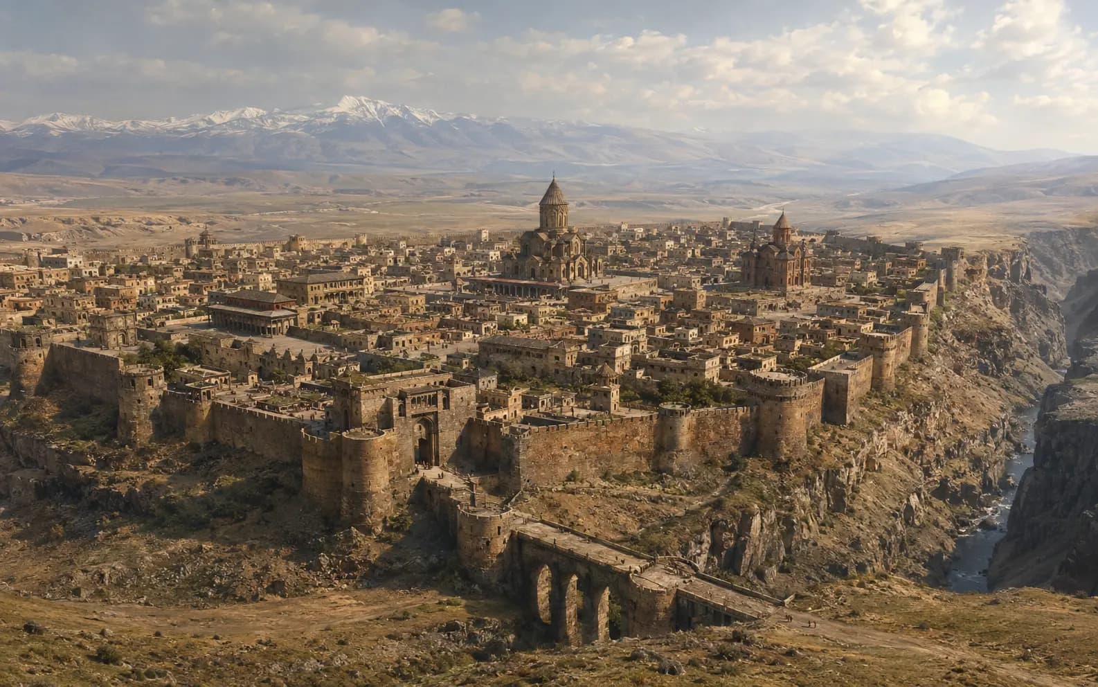
The Bagratid kings restored Armenian statehood after two centuries of foreign rule and built Ani into one of the great cities of the medieval world.
Geghard Monastery
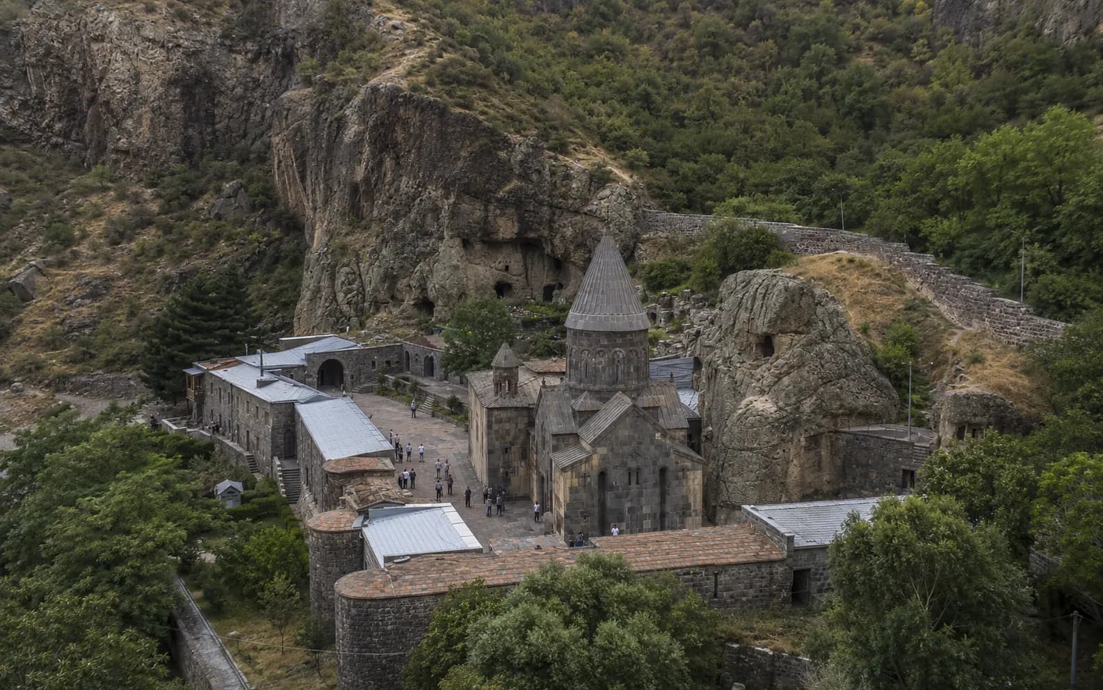
A medieval monastery at the head of a gorge in the upper Azat valley. Half of it is built of masonry, half is cut into the cliff behind, and it is named after a spear it no longer holds.
Tatev Monastery
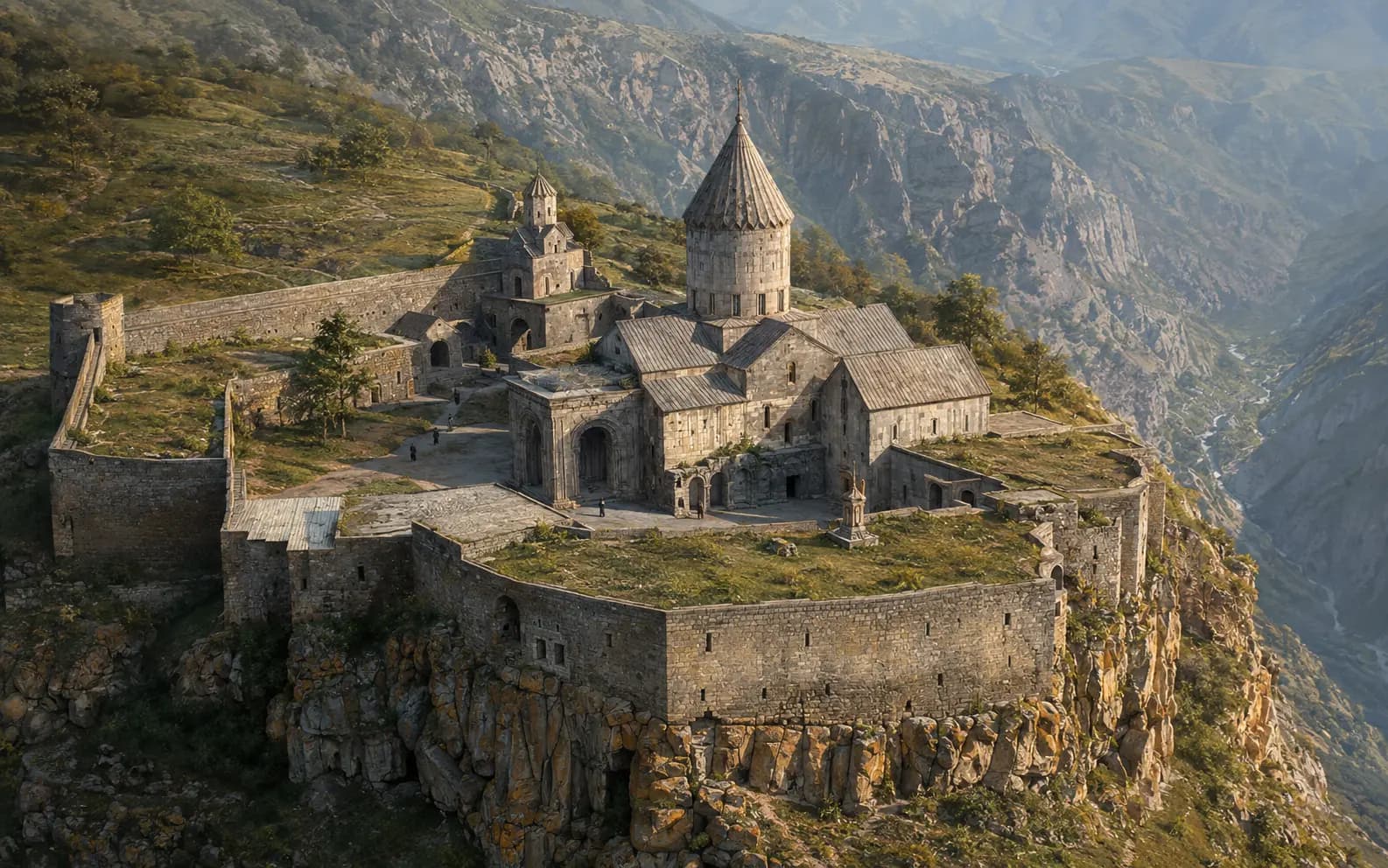
A monastery on a basalt shelf above the Vorotan gorge in Syunik. It was the seat of a bishop, home to the best-known school in medieval Armenia, and the place where a tenth-century stone column still rocks on its base.