
Jermuk
Jermuk's name is also an everyday Armenian noun. In Armenian a jermuk is a warm spring, water that comes out of the ground hot, and the town is named as plainly as an English village might be called Wells. That matters because most writing about the place mixes the two up. The word is old and the springs are old, but the town is not. The town as it stands today was created in the twentieth century. It was planned around thermal springs in the gorge of the Arpa, built mostly between 1940 and the 1970s, and shaped by a Soviet institution that no longer exists. To understand Jermuk, you have to keep the water, the word and the town apart long enough to see how they came together.
- Author
- Armat Editorial Team
- Updated
- Reading time
- 26 min read
In brief
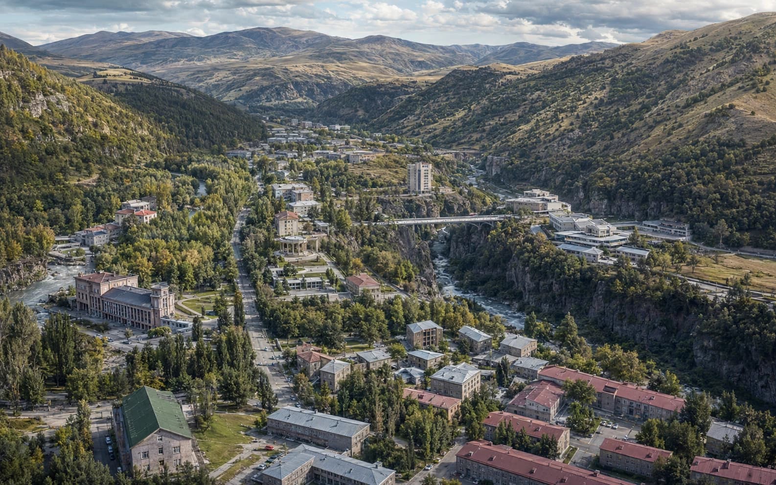
Jermuk is a small town in Vayots Dzor Province, in the south of Armenia. It stands at about 2100 metres on a plateau split by the gorge of the Arpa. Its name is the ordinary Armenian word for a warm spring, and the springs are the reason the town exists: thermal, carbonated, mineral-rich waters that were used locally long before anything was built around them. Armenian reference works date the modern town to 1940, when the first sanatorium opened. It was granted town status in 1967 and all-Union resort status in 1970. Its plan, its architecture, its economy and its name all come from the water. The census of October 2022 counted 3936 permanent residents.
Key facts
- Kind of place
- A town — a spa settlement in Vayots Dzor Province, and the centre of the Jermuk community
- Where
- On a plateau in the upper basin of the Arpa, in the south of Armenia, roughly fifty kilometres from the provincial centre Yeghegnadzor
- Height
- About 2100 metres above sea level; 2080 is also published, and the town covers enough ground that any single figure is approximate
- The springs
- Thermal and carbonated: roughly 40 to 58 degrees Celsius according to the Institute of Geological Sciences, with hydrocarbonate–sulphate sodium–calcium–magnesium waters carrying about 4 to 5 grams of minerals per litre
- The modern town
- Dated to 1940, when the first sanatorium was completed; town status in 1967; all-Union resort status in 1970
- Population
- 3936 in the town at the census of October 2022 — a dated count for the town itself, not the figure for the wider community
Where Jermuk is, and which Jermuk is meant
Jermuk lies in the south of Armenia, in Vayots Dzor Province, on a high plateau in the upper basin of the river Arpa. It is roughly fifty kilometres from Yeghegnadzor, the provincial centre, and more than a hundred and seventy by road from Yerevan. The plateau sits at about 2100 metres. The other figure in circulation is 2080, and neither source says whether it measures the springs, the centre or the highest street. The mountains around it rise to between 2500 and 3000 metres. The Arpa cuts through the plateau in a gorge, and the town is built on both sides of it, which is the single most important fact about its shape.
Several different things are called Jermuk, and mixing them up is the most common way statements about the place go wrong. There is the town itself. There is the Jermuk community, a municipal unit formed in 2016, which runs the town together with the villages of Kechut, Gndevaz, Karmrashen and Herher and covers a great deal of empty upland. There are the mineral springs. There is the bottled water sold under the name. And there is the waterfall. A population, area, temperature or chemical analysis given for one of these does not apply to the others, and this article says each time which one it means.
This article is about the town. The province is named to place it on the map and plays little other part here. Vayots Dzor is a thinly populated marz of high valleys and gorges in the south-east of the country, and Jermuk is neither its centre nor its largest town. What makes Jermuk worth an article is not its administrative weight. It is a settlement built for a single reason, and that reason can still be read in its plan.
The name, and what it does not prove
Jermuk — Ջերմուկ — is an ordinary Armenian noun before it is a place name. It means warm water rising from the ground, or a spring of such water, and it is formed from jerm, warm, with a suffix that turns the adjective into a noun. Armenian uses the word generally: thermal springs elsewhere in the country are jermuks too. So the town is named the way a place might be called Wells or Bath, by the plainest possible description of what is there.
That has a consequence most accounts skip over. A medieval Armenian text that contains the word jermuk is not necessarily talking about this place, because the word was used for springs that had nothing to do with Vayots Dzor. Armenian reference works report that the springs here are mentioned in the thirteenth-century history of Syunik by Stepanos Orbelian, the same historian whose transcriptions date the church at Tatev. This article records that only as an attribution. The passage has not been read for this article, and a common noun in a medieval chronicle is exactly the kind of evidence that needs checking rather than repeating.
For part of its history the settlement had a second name. It appears as Istisu, Turkic for hot water, which is the same name in another language, and it went back to Jermuk in 1924. So three things of different ages are constantly merged into one: the word, which is old; the place name, which is at least medieval if the attribution above holds; and the present town, which is not.
Why there is hot water here
Armenia sits on a tectonically active belt, with young volcanic rock across much of its surface, and mineral and thermal waters are common throughout the country. The Institute of Geological Sciences records more than seven hundred mineral springs and boreholes. Their temperatures run from about 40 degrees at the coolest recognised thermal fields to over 80 at the hottest, and the institute lists Jermuk first among the handful of deposits important enough to have had resorts built on them.
The usual explanation for these waters is simple in outline and hard to pin down in detail. Rain and snowmelt sink into cracked rock and travel down faults deep enough to warm them. On the way the water picks up carbon dioxide from deep below and dissolves minerals from the rock, then rises again where the structure lets it. Armenian geologists apply this model to Jermuk. But it is a general model, not a local measurement: this article has not read an isotope or residence-time study of these particular springs, and it does not claim one.
For the town, what matters is the result, not the mechanism. Hot, gassy, strongly mineralised water reaches the surface here in quantity, at an altitude where nothing else would have drawn a town. Every later stage of the place — the tracks to it, the buildings on it, the factory below it, the name on the bottle — follows from that one geological fact.
What was here before the resort
People lived near the springs long before there was an institution. Armenian reference works report the remains of a cyclopean fortress and the ruins of an eighth-century basilica nearby. That kind of evidence shows people were here, not that they bathed. A fortress wall and a church tell you the ground was settled and defended; they say nothing about what anyone did with the water.
This is the part of Jermuk's history most distorted by repetition. The line that its healing waters have been famous for thousands of years is a marketing line. It circulates in brochures, on labels and in tourism copy until it sounds like a finding. So it helps to be clear about what would actually count as evidence. Archaeological evidence would be a bath structure, a channel or a votive deposit. Written evidence would be a text describing use, not just a place name. Local tradition is real, and it is evidence of tradition. Twentieth-century spa literature, written by an institution to justify itself, is a fourth kind of source, and modern advertising a fifth.
By those tests, local use of the waters before modern times is supported in general terms but not documented in detail. It is very likely that people living in or passing through this valley drank and bathed in springs that come out of the ground hot, as people do with such springs everywhere. What is missing is any surviving description of that use here that this article has been able to verify, which is not the same as saying it never happened.
The first records that can be dated are from the nineteenth century, and they are Russian. Armenian reference works describe a study of the waters by a mining engineer in Russian service, published in 1831 and revisited in the 1850s, and a bathing pool set in order in the 1860s at the expense of a local official. That is the real start of outside interest in the springs. It was a survey and a pool, not a resort, and it came a full century before the town.
How a spring became a settlement
Jermuk's founding date needs careful handling, because what was founded was an institution, not a town. Armenian reference works date the modern settlement to 1940, when the first sanatorium was completed and opened. That is a fair date for the resort. It is not the date a town appeared on empty ground, and it should not be written as if a town were created that year by decree.
What followed came in separate steps, and blending them produces the neat but wrong claim that Jermuk was founded in a single year. Building continued through the 1950s, when the main sanatoria and the mineral-water gallery went up. In 1967 the place was granted the status of a town of republican significance. In 1970 it was named a resort of all-Union significance, which put it alongside the great spas of the Caucasus and brought it visitors from across the Soviet Union. These were three decisions, by two authorities, about two different things: what the settlement was administratively, and what the resort was as an institution.
The difference is more than pedantry, because it explains the town's shape. A town that grows around a market or a crossing spreads outward from a centre. Jermuk was laid out around a facility, and the facility came first: the sanatoria, the gallery over the springs, the parkland between them, and then housing for the people who worked there. That order can still be seen on the ground. It is why the place feels less like a small town than like a campus that gained a population.
The Soviet town
Almost everything physical about Jermuk was decided in the Soviet decades, and that history is best read as one of planning rather than politics. A first master plan was drawn up in 1945, five years after the first sanatorium opened. It was revised twice more, in the early 1950s and again around the turn of the 1960s, as the resort's ambitions grew. Planning a town on a plateau split by a gorge is an unusual problem, and each plan was essentially an answer to it: where to put the institutions, where to put the housing, and how much of the shelf above the river to keep as park.
The buildings that give the town its character came out of that programme. The sanatorium and the gallery over the mineral springs were designed by Gevorg Tamanyan and built between 1950 and 1956. He was the son of Alexander Tamanyan, whose plan governs central Yerevan, and he had a substantial career of his own: the Aram Khachaturian concert hall in Yerevan is his. A mineral-water gallery is a building type rarely seen outside spa towns. It is a long, roofed, colonnaded hall built over or beside the springs, where the water comes from taps and is drunk on the spot, at a set temperature and in a set quantity. It is the whole system expressed in architecture, and giving it to an architect of that standing shows what the state thought the place was for.
The scale reached by the 1980s shows how much had been built. Accounts of the resort at its peak describe around five thousand beds across its sanatoria and rest houses, in a settlement whose own population at the 1989 census was 9014. In high season, the resort could hold nearly another town's worth of people alongside the town that ran it. There was an airfield, and flights brought visitors from far beyond Armenia. Both figures come from Soviet-era and post-Soviet Armenian reference works, not from an audited register, and they are given here as orders of magnitude.
So the Soviet period did not discover the springs, which were already known. It turned them into infrastructure. It put up the buildings, laid the streets, planted the parks, ran the road and the air link, and created the referral system that filled the beds. It also tied the town's fortunes to a single institution. That is why the end of the Soviet Union hit Jermuk harder than places with more than one reason to exist.
What the springs actually are
Published figures for Jermuk's water vary more than most accounts admit, and not all of the variation is error. The Institute of Geological Sciences gives the Jermuk springs a temperature of about 40 to 58 degrees Celsius. It describes a hydrocarbonate–sulphate composition, with sodium, calcium and magnesium among the cations, a mineral content of roughly 4 to 5 grams per litre, and a charge of carbon dioxide. A peer-reviewed survey of Armenian geothermal springs sampled one Jermuk source and recorded it at over 53 degrees with a pH of 7.5, describing it as vigorously degassing. The two sets of figures are compatible.
Other figures in circulation are harder to reconcile. Temperatures of 61 and 64 degrees appear in several places, and ranges starting as low as 30 in others. Some of that spread is real: a field of springs is not one spring, and outlets differ in temperature, gas and mineral content. Some of it is the usual drift of a number copied from source to source without its measurement conditions. What can fairly be said is that the springs are thermal, that the published central range is roughly 40 to 58 degrees, and that a single analysis quoted as if it described the whole field is being over-read.
Counting the springs has the same problem. Armenian reference works have spoken of dozens of therapeutic outlets, and the municipality's own account gives thirty-six; other accounts say twenty-odd thermal springs, or forty. No two of these counts use the same basis, and none that this article has seen defines what it is counting. Natural outlets, drilled boreholes and taps in the gallery are three different things. The number of springs is therefore given here as a range, not a fact, and what matters is less the count than how much the springs differ from one another.
The most common comparison is with Karlovy Vary in Bohemia, which appears on the Armenian Institute of Geological Sciences' own pages as well as in tourism copy. It is a claim about similar temperature and composition, and a reasonable shorthand for readers who know one place and not the other. It is not a measurement, though, and it brings with it a good deal of nineteenth-century spa prestige that has nothing to do with the water. This article uses it once, as a comparison, and rests nothing on it.
What the water was used for, and what that does not mean
The historical practice at Jermuk was balneological, in the specific institutional sense the word had in the Soviet system. Patients came on referral for a course lasting a fixed number of days. They drank measured amounts of water at set temperatures and set times, and were given baths and other procedures alongside it. Sanatoria were not hotels. They were medical institutions within a state health system, with doctors, admission criteria and stays that were arranged rather than booked. The water was promoted, and prescribed, for digestive and metabolic conditions among others.
That is a description of a historical practice and nothing more. This article makes no claim that Jermuk's water treats, cures or prevents anything, offers no health advice, and takes no position on the clinical evidence. Four things are easily confused here. There is what was done at the resort in the past. There is what controlled clinical research shows, a separate body of work this archive has not surveyed. There are the advertising claims made for a bottled product, which belong to a commercial genre. And there is what any individual should do about their own health, which is a question for a doctor, not an encyclopedia.
This caution matters more at Jermuk than anywhere else in this archive, because here the marketing and the history use the same words. A label calling the water healing and a Soviet balneology handbook prescribing a drinking course are not making the same kind of statement, even when the words overlap. Keeping them apart is not scepticism about the place. It is the only accurate way to describe what the institution actually was.
The built town
Jermuk's buildings are the physical record of that planning history, and they can be read more clearly than in most towns. The institutional buildings hold the best ground, the shelf above the gorge with the view down it, and the housing sits behind them. Parkland runs between the sanatoria rather than around the edges, because in a resort plan the green space is part of the facility, not what is left over. Avenues follow the contours of the plateau instead of crossing it in a grid, as the terrain requires. The gallery over the springs is the hinge of the whole layout, and the walk to it was designed as part of the treatment.
The architectural style is mid-century Soviet public building, in stone rather than bare concrete: monumental frontages, colonnades, broad stairs, long horizontal blocks set into sloping ground. That is no surprise for buildings begun around 1950 by an architect trained in his father's office, and it places Jermuk in the same family as the sanatoria of the Caucasus spas in general. This is the town's main architectural interest. Jermuk has no medieval quarter and does not pretend to have one.
Not everything standing belongs to one period, though, and reading the town as a single-period piece is the most common mistake made about it. Some of the Soviet buildings have been renovated; others have been abandoned and stand empty. A good deal of hotel and apartment building has gone up since the 2000s in styles unrelated to the original plan. At first sight Jermuk looks like a Soviet resort town. A closer look shows three or four building campaigns in different states of repair, which is the normal condition of any town that has outlived the system that made it.
The Arpa, the gorge and the waterfall
The Arpa rises in the high country north of Jermuk and flows south and west through Vayots Dzor before turning towards the Araks. At Jermuk it has cut a gorge into the plateau, and the gorge gives the town its form. The two halves of the town face each other across it, the springs emerge in and around it, and the ground that would otherwise be the natural town centre is a ravine. Here the Arpa is a working river, not scenery, and what has been done to it above and below the town is part of the place.
Just below Jermuk, at the village of Kechut, the Arpa is dammed. The Kechut reservoir was completed at the start of the 1980s and holds something in the order of twenty-three million cubic metres. Its purpose has nothing to do with Jermuk. It is the intake of the Arpa–Sevan tunnel, which runs for roughly fifty kilometres under the Vardenis range to carry water north into Lake Sevan, and which has been in operation since 1981. The most important piece of engineering in the upper Arpa basin was built to solve a problem in a different watershed.
So the landscape around Jermuk has a double character. It looks like highland wilderness: treeless slopes, alpine meadow, a river in a gorge. In fact it is a managed water system, in which a dam regulates the flow past the town and part of the river leaves the basin altogether through a tunnel. Both descriptions are true. A reader who takes the first without the second will misunderstand both the river and the reservoir.
The waterfall is part of this landscape, not an item on a list of attractions. It drops into the gorge below the town, and accounts differ on what feeds it: some say a spring, others a tributary stream, but all agree it lands in the Arpa. Its height is given as 68 metres in some sources, 70 in others and 72 in a few. That spread is typical of estimates rather than surveys, and this article has found no published measurement behind any of the three. A folk story is attached to it, in which the fall is the hair of a girl who was transformed. It is ordinary folklore of the kind that gathers around striking places, a story told about the waterfall rather than evidence about it.
The bottle and the town
Bottling is the part of Jermuk's history that reaches furthest beyond the town. A plant to bottle the mineral water was set up here around the turn of the 1950s, and from there the name travelled. Through the Soviet distribution system Jermuk became one of the recognised mineral waters of the Union, and it remains one of the best-known Armenian brand names anywhere. Some Armenian reference accounts give the founding year as 1949, and others, including the industry's own, give 1951. This article has found nothing that settles it, so both are recorded.
The brand and the town have to be kept apart, for practical reasons rather than fussy ones. Not every spring in the field feeds the bottled product; the water sold under the name comes from particular sources, which is normal for any mineral water and easy to over-generalise. The corporate history since 1991 involves successive owners, disputes over the name and several companies bottling water from the area. That is a commercial story rather than a settlement's story, and it is deliberately left aside here. And a brand's global reach is not a town's prosperity: a name can be famous while the place it came from is losing population, which is roughly what has happened.
What the bottle did do for Jermuk, and it is no small thing, is make the town's name known to millions of people who will never see it. That is an unusual position for a town of a few thousand. It also means that most of what is written about Jermuk is written to sell something. That is the underlying reason this article has had to be careful at every step about dates, chemistry and claims.
What Jermuk is now
The population figures show most clearly what has happened since the Soviet system ended, but they need their labels. At the census of October 2022 the town of Jermuk had a permanent population of 3936 and a present population of 3569. The Jermuk community, which includes the four villages, had 5694 permanent residents, out of a provincial total of 47369. The town's permanent population was 5394 in 2001 and 4628 in 2011, so the decline has been steady rather than a single event, and the peak came earlier still: 9014 at the census of 1989. The municipality publishes its own figure for the community, 9276. That is a registered count, not an enumerated one, and it stands more than half again above the census total; the gap between a register and a headcount is part of what the numbers mean here. A town built around one institution lost most of its population when the system behind that institution disappeared.
The other question hanging over the place in recent years has been the protection of the springs themselves. A gold deposit at Amulsar, in the mountains near the town, has been the subject of a long and contested development process. Concern about possible effects on Jermuk's waters has been central to the opposition, which is why it belongs in an article about the town at all. In 2019 the Armenian government commissioned an independent technical assessment from an outside consultancy. Its findings were themselves disputed, its authors stated that the baseline data available to them were insufficient for a comprehensive environmental risk assessment, and no government decision followed from it. This article records that the dispute exists and that it is about the water. The technical question is not one an encyclopedia entry can settle, and nothing here should be read as settling it.
In the end, what defines Jermuk is that it exists for one thing. Most settlements have several reasons to be where they are. This one has one, and it shows everywhere: in the name, which is the word for the water; in the plan, which is laid out around the gallery; in the architecture, which was built for an institution; in the economy, which is the resort and the bottling plant; and in the population, which rose and fell with them. That is rare enough to deserve an article, and it is why Jermuk is a place in its own right rather than a spa with a settlement attached.
Important dates
1831
The earliest dated outside study of the springs reported in Armenian reference works: a survey by a mining engineer in Russian service, published this year and revisited in the 1850s. A survey, not a resort.
1860s
A bathing pool at the springs is set in order at the expense of a local official. It is the first recorded construction here for using the water, some eighty years before the town.
1924
The settlement's name reverts to Jermuk. It had also been known as Istisu, the same description in another language.
1940
The first sanatorium is completed and opened. Armenian reference works date the modern settlement from this year, which is a founding date for the resort, not for a town on empty ground.
1945
The first master plan for the settlement is drawn up. It is revised in the early 1950s and again around the turn of the 1960s.
1950
Construction begins on the sanatorium and the gallery over the mineral springs, designed by Gevorg Tamanyan; the work is completed in 1956.
1951
The mineral-water bottling plant is established, by the industry's own date. Some Armenian reference accounts give 1949 instead, and nothing this article has found settles the question.
1967
Jermuk is granted the status of a town of republican significance.
1970
Jermuk is named a resort of all-Union significance. This is a separate act from the grant of town status three years earlier, and it is the one that brought visitors from across the Soviet Union.
1981
The Arpa–Sevan tunnel comes into operation. It takes water from the Kechut reservoir on the Arpa, just below Jermuk, and carries it under the Vardenis range into Lake Sevan.
1989
The census records 9014 inhabitants, the highest figure the settlement has reached.
2016
The enlarged Jermuk community is formed, running the town together with the villages of Kechut, Gndevaz, Karmrashen and Herher. From then on, any figure for Jermuk means either the town or the community and has to say which.
2019
An independent technical assessment commissioned by the Government of Armenia reports on the proposed gold mine at Amulsar, near the town. Its findings are disputed, its authors state that the baseline data available to them were insufficient for a comprehensive environmental risk assessment, and no government decision follows from it.
2022
The October census counts 3936 permanent residents in the town and 5694 in the community, against 5394 in the town in 2001 and 4628 in 2011.
Why Jermuk matters
Jermuk is the clearest example in Armenia of a town made by a single natural resource and a single institution. Nothing about it is accidental. The springs decided where it would be, the resort decided what it would look like, and the Soviet health system decided how large it would grow. Places like that are rare, and unusually easy to read: the town plan is a diagram of what the town was for. It also fills a real gap in this archive, which is mostly monasteries, fortresses and landscapes. The twentieth century is when most Armenians came to live where they live now, and almost none of it is monumental.
Jermuk is also where the difference between evidence and promotion matters most. Its waters have been sold for three-quarters of a century, and the language of that selling — ancient, healing, famous for millennia — has seeped into what is written about the town's history, its chemistry and its past. Separating the two does not diminish the place. A town planned around a mineral field at two thousand metres, built by a named architect for a state health system, and left to work out what it is after that system vanished, is a more interesting subject than the brochure version, and much easier to check.
Interesting facts
- 01The town's name is an ordinary Armenian noun. A jermuk is any warm spring, so a medieval text containing the word is not necessarily about this place, a point most accounts of the town's antiquity pass over.
- 02The census of October 2022 counted two populations for the same town: 3936 permanent residents and 3569 people actually present on census night. Both are official, and they answer different questions.
- 03The community is larger than the town it is named after, with 5694 people against 3936, because it also includes four villages. A figure quoted without saying which is meant can be wrong by nearly half.
- 04The sanatorium and the gallery over the springs were designed by Gevorg Tamanyan, son of Alexander Tamanyan, whose plan governs central Yerevan. The same architect built the Aram Khachaturian concert hall.
- 05The dam just below the town was not built for Jermuk. The Kechut reservoir is the intake of the Arpa–Sevan tunnel, which carries water out of this basin altogether and under a mountain range into Lake Sevan.
- 06Different sources give the waterfall's height as 68, 70 and 72 metres, and no measurement behind any of the three could be found. It is a good example of how a number becomes a fact through repetition.
Sources
- Statistical Committee of the Republic of Armenia. Results of the 2022 Population Census of the Republic of Armenia — Figures of the Marz of Vayots Dzor, Section 1: Distribution of the Population by Administrative-Territorial Division — Armstat, Yerevan, 2024 Visit sourceThe primary source for every population figure in this article, and the only one. Tables 1.1.1 and 1.1.2 of this release were downloaded from the page linked here, extracted and read directly rather than taken from a secondary account, which matters because they are the reason the article can separate four numbers that are routinely quoted as one. For the town of Jermuk they give a permanent (de jure) population of 3936 and a present (de facto) population of 3569 at the census of October 2022, against 5394 and 5146 in 2001 and 4628 and 4346 in 2011. For the Jermuk community — the town plus Kechut, Gndevaz, Karmrashen and Herher — they give 5694 permanent, and for Vayots Dzor marz 47369. The tables state that communities are presented as constituted under the law on administrative-territorial division as amended on 9 June 2022. Cited for the census figures and the settlement/community distinction, and for nothing else.
- Jermuk Municipality. About the community (Համայնքի մասին) — Ջերմուկի համայնքապետարան, jermuk.am Visit sourceThe administering authority's own account of the settlement, in Armenian, and the source that independently corroborates the resort chronology this article uses: the modern town dated to 1940 and the completion of its first sanatorium, the grant of town status in 1967, all-Union resort status in 1970, and the renaming from Istisu to Jermuk in 1924. Also the source for the community's composition and the distances the article gives — Kechut, Gndevaz, Herher and Karmrashen; roughly fifty kilometres from the provincial centre and a hundred and seventy-three from Yerevan — for its elevation figure of 2080 metres, for the count of thirty-six thermal springs, for the bottling plant's date of 1949, and for the waterfall at about seventy metres. It is also cited for a discrepancy rather than a fact: its own population figure of 9276 for the community is a registered count and stands more than half again above the census total above. Not cited for chemistry, for medical claims, or for anything the census answers.
- Institute of Geological Sciences, National Academy of Sciences of the Republic of Armenia. Section of Mineral Waters — geology.am, Yerevan Visit sourceThe institutional geological source, and the one that carries this article's chemistry. Cited for the country-wide context — more than seven hundred mineral springs and boreholes recorded in Armenia, temperatures from about 40 degrees at the coolest recognised thermal fields to over 80 at the hottest — and for Jermuk specifically: the springs in the Arpa gorge on the Jermuk plateau, a temperature range of roughly 40 to 58 degrees Celsius, a hydrocarbonate–sulphate composition with sodium, calcium and magnesium among the cations, mineralisation of about 4 to 5 grams per litre, and carbon dioxide in the gas. It is also the source of the comparison with Karlovy Vary that the article reports as a resemblance claim rather than a measurement.
- Armine Saghatelyan, Armine Margaryan, Hovik Panosyan and Nils-Kåre Birkeland. Microbial Diversity of Terrestrial Geothermal Springs in Armenia and Nagorno-Karabakh: A Review — Microorganisms 9(7), 1473, MDPI, 2021 Visit sourceThe one peer-reviewed measurement this article rests on, and it is a measurement of a single spring rather than of the field. Cited for its Jermuk sample: a temperature above 53 degrees Celsius, a circumneutral pH of 7.5, an elevation of 2080 metres, and a description of the source as vigorously degassing and of carbon hydro-sulphate–sodium type — which is compatible with the institutional range above and is why the article can say the two agree. Its tabulated total mineralisation for the Armenian springs it surveys is not usable as stated and is deliberately not quoted here; the mineralisation figure in this article comes from the geological institute instead. The review's own subject is microbial ecology, and nothing in this article rests on that half of it.
- T. Kh. Hakobyan, S. T. Melik-Bakhshyan and H. Kh. Barseghyan. Dictionary of Toponymy of Armenia and Adjacent Regions, volume 4 (Ն–Վ) — Yerevan State University Press, Yerevan, 1986–2001 · Հակոբյան Թ. Խ., Մելիք-Բախշյան Ս. Տ., Բարսեղյան Հ. Խ., «Հայաստանի և հարակից շրջանների տեղանունների բառարան», հ. 4, ԵՊՀ հրատարակչություն, ԵրևանThe standard Armenian toponymic reference, and the work behind the place-name half of this article's second section — the older name Istisu and the reversion to Jermuk in 1924. Registered with an archival identifier rather than a URL or a page because neither could be verified: the volume is not online in a form this article could open, and a page number circulates in secondary citations that has not been checked against the book. It has not been read directly, that is recorded rather than glossed, and the two claims it supports are also carried by the municipality's own page above. The article's statement that jermuk is an ordinary Armenian common noun does not rest on it.
- Armenian Soviet Encyclopedia, volume 9 — Jermuk — Armenian Encyclopedia Publishing House, Yerevan · «Հայկական սովետական հանրագիտարան», հ. 9, «Ջերմուկ» յօդուած, ԵրևանThe reference work behind the Soviet-period detail that the municipality's page does not carry: the master plan of 1945 and its revisions, and the attribution of the sanatorium and the mineral-water gallery to the architect Gevorg Tamanyan, built between 1950 and 1956. Like the toponymic dictionary above it is registered with an archival identifier and has not been read directly — the article's account of it comes from Armenian secondary literature citing it — and every claim in the article that depends on it is written as something Armenian reference works report rather than as an established fact. The bed-capacity and airfield figures for the resort at its height are attributed to this literature in the same way, and are given as orders of magnitude.
- Lake Sevan — "Sevan" National Park SNCO — Ministry of Environment of the Republic of Armenia, Yerevan Visit sourceAlready registered for the Lake Sevan article, and cited here for one thing: the Arpa–Sevan diversion, which begins at the Kechut reservoir on the Arpa immediately below Jermuk and has carried water under the Vardenis range into the lake since 1981. That is the fact that makes the upper Arpa a managed water system rather than a wilderness, and it is the relationship this article's only authored link points at. Not cited for anything about Jermuk itself.
- CEE Bankwatch Network. Amulsar gold mine, Armenia — Bankwatch, Prague Visit sourceCited for the existence and course of the dispute over the Amulsar deposit and for nothing else: that the Armenian government commissioned an independent technical assessment in 2019, that its authors reported the data available to them were insufficient for a comprehensive environmental risk assessment, and that no government decision followed from it. Registered with its position stated rather than hidden — Bankwatch is a network of environmental organisations that has campaigned against this project — which is precisely why it is used only for the process and never for a technical conclusion. The assessment report itself was not obtained, the article therefore adjudicates nothing about the springs, and the one paragraph that mentions Amulsar says so.
Related articles
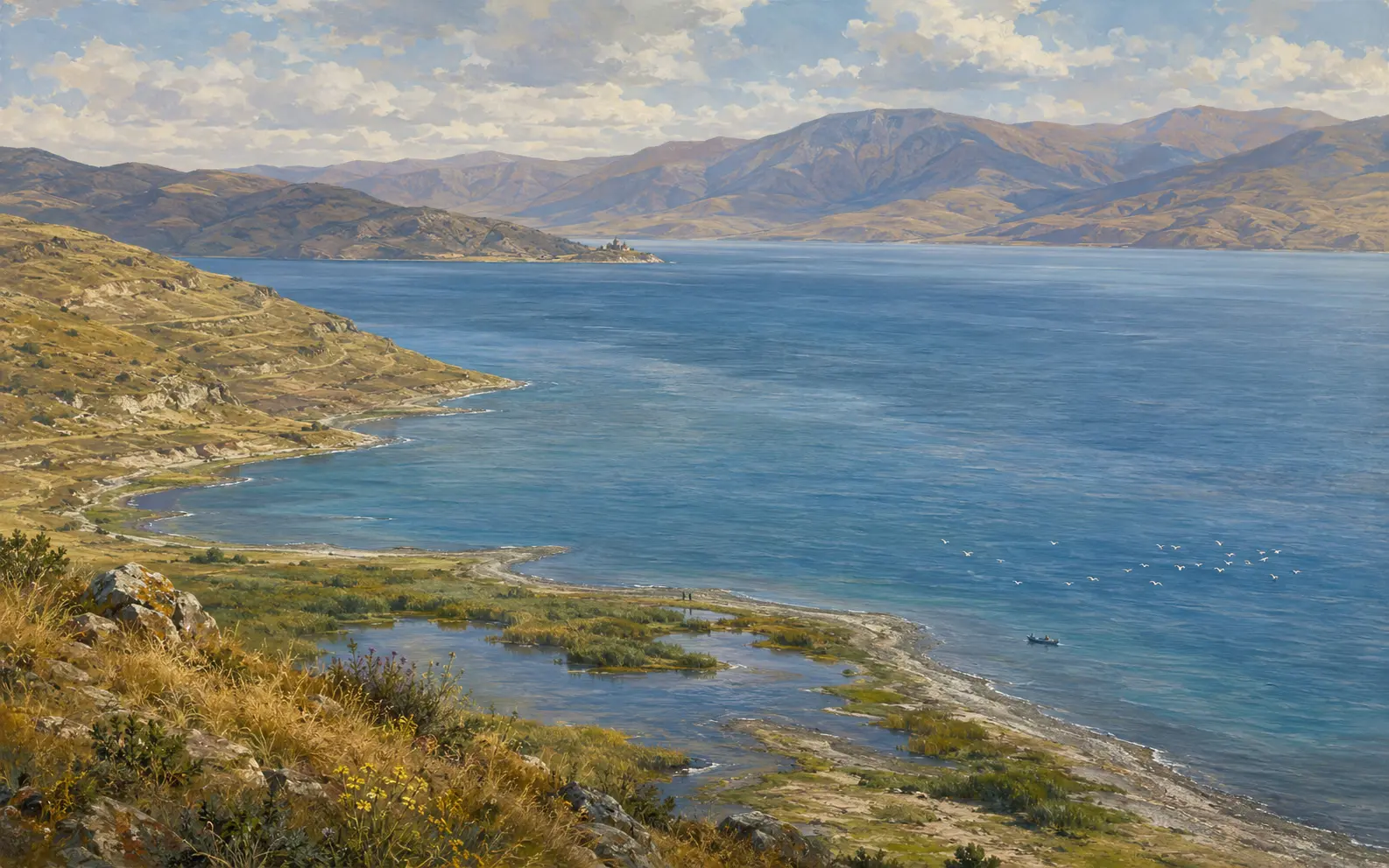
Lake Sevan
The great high-altitude lake of eastern Armenia: a closed mountain basin with many rivers flowing in and one flowing out. Its shoreline was deliberately lowered by nineteen metres in the twentieth century, and people have been arguing it back up ever since.
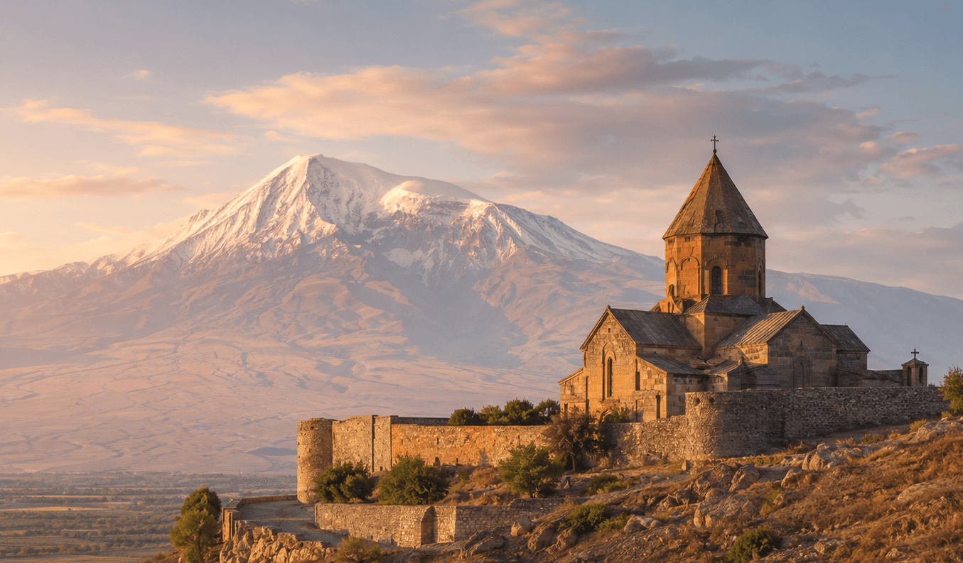
Khor Virap
A working monastery on a low hill above the Ararat plain, built over the pit where tradition says Gregory the Illuminator was imprisoned. It stands on the site of Artashat, an ancient Armenian capital.
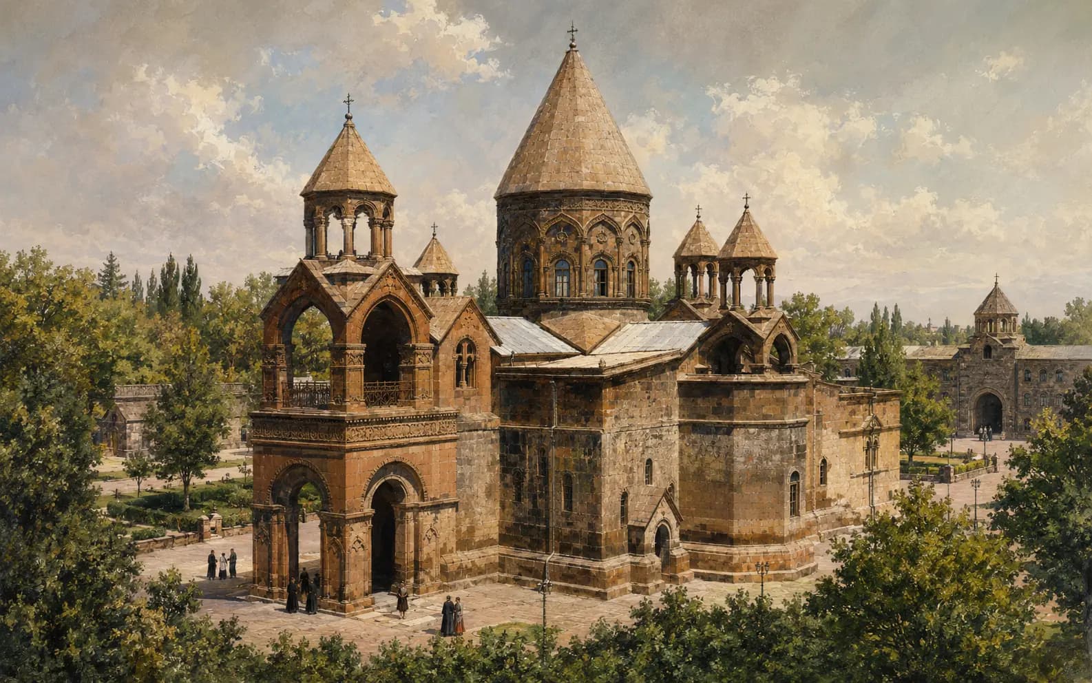
Etchmiadzin Cathedral
The principal church of the Mother See of Holy Etchmiadzin and the seat of the Catholicos of All Armenians. Its tradition reaches back to Armenia's conversion, but most of the building standing today does not.