
Amberd Fortress
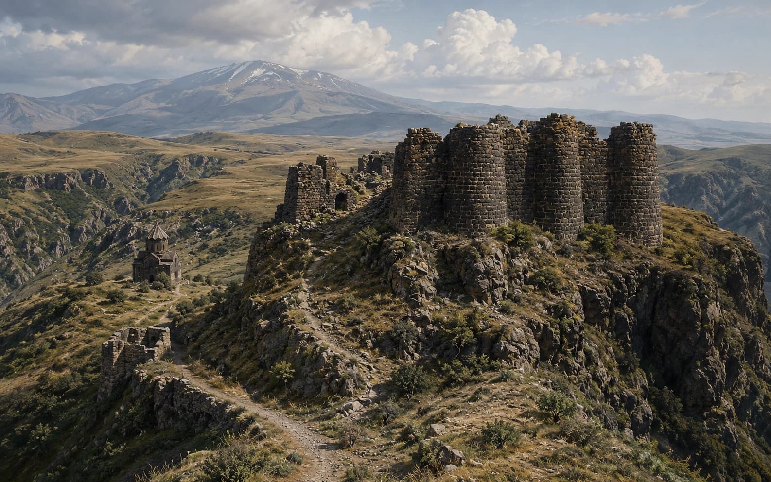
Amberd stands high on the southern side of Mount Aragats, on a triangular spur with a gorge dropping away on each side, and almost everything about the place follows from that position. What survives is a ruin: the shell of a three-storey stone castle, stretches of wall and the stumps of towers, a bathhouse below the castle, cisterns, the line of a water conduit, and one church still standing whole. The church carries a date, 1026. The fortress does not, and that is the most useful thing to know before reading anything else about Amberd. Most confident statements about the site's early history are attributions, and the one building that can be dated is the one that was added last.
- Author
- Armat Editorial Team
- Updated
- Reading time
- 22 min read
In brief
Amberd is a ruined medieval fortress in Aragatsotn province. It stands on a promontory on the southern slopes of Mount Aragats, between the gorges of the Amberd and Arkashen rivers. The complex includes a three-storey stone castle, a ring of walls and towers, a bathhouse heated from below, cisterns and a piped water supply. There is also a church, usually called Vahramashen, built for the Bagratid commander Vahram Pahlavuni and dated 1026 by an inscription. It is the only securely dated building on the site. Excavation and architectural study place the fortress itself in the tenth to thirteenth centuries. The seventh-century foundation credited to the Kamsarakan house is an attribution, not a documented event. Amberd has been a state historical and cultural reserve since 2017.
Key facts
- Kind of place
- Ruined medieval fortress complex: castle, walls and towers, church, bathhouse and water system
- Where
- Aragatsotn province, on the southern slopes of Mount Aragats, north-west of the village of Byurakan
- Height
- About 2300 metres above sea level by the reserve's own figure; 2160 metres is also published
- Dated
- The reserve dates the complex to the tenth to thirteenth centuries; the state monument list gives tenth to fourteenth
- The church
- Surb Astvatsatsin, known as Vahramashen, dated 1026 by an inscription — the only firmly dated building here
- Protection
- On the state list of monuments of Aragatsotn since 2002; a historical and cultural reserve of 45.07 hectares since 2017
Where Amberd stands
Amberd sits on the southern flank of Mount Aragats in Aragatsotn province, some distance north-west of the village of Byurakan and well above it. The site is a spur: a triangular promontory with the gorge of the Amberd river on one side and the gorge of the Arkashen on the other, the two closing in on each other below its tip. The fortress fills the whole spur. The only level approach is from behind, where the ground runs back towards the mountain.
The terrain explains how the site was defended. Two sides of the enclosure never needed strong walls, because they end in a drop. The wall and the towers are concentrated where the spur joins the slope behind it, the only place an attacker could form up. The fortress is not out of reach: a road gets there now, and a track always did. It is simply costly to attack from any direction but one.
The height is the figure most often quoted, and it varies by source. The reserve that runs Amberd, and most reference works after it, give about 2300 metres above sea level; the heritage inventory kept by the American University of Armenia gives 2160. Neither says whether the number refers to the castle, the church a couple of hundred metres downhill, the plateau behind them or the ridge above. The site spans enough height for each of the four to give a different answer.
The mountain and the province
Mount Aragats is a volcano and the highest ground in the Republic of Armenia. It is a broad massif with four summits around a central crater, not a single peak, and Aragatsotn province is named after it. Amberd sits on its lower southern slopes: high enough to be in cloud for part of the year, but well below the summer pastures and the snow.
The mountain gave the site two things it could not have done without. The first is stone. Aragats is built of lava and ash, and the dark stone of the castle and the church is local rock, not material hauled up from the plain; the sources that name it call it basalt. The second is water, which the fortress had to bring in for itself and which has its own section below. Snow on the massif keeps streams running in both gorges through the summer, and that is why a stronghold at this height was practical at all.
The position also explains why anyone built here. Aragats rises over the northern edge of the Ararat plain, and the routes from the plain up into Shirak and on towards Ani pass around its flanks. A fortress at this height does not block a road. The site suggests instead that it held the high ground above one, and gave a garrison and a household somewhere to sit out a season when the plain below was unsafe. Amberd is a highland stronghold behind a frontier, not a gate on a highway.
How the site is dated, and by what
Four kinds of claim are made about Amberd's age, and they are not equally firm. There is an inscription. There is excavation. There is comparison with other buildings. And there is attribution: crediting the earliest work to a family known to have held this district. Only the inscription gives a year.
The inscription is on the church, not the fortress. Carved inside the north portal, it dates the building to 1026 and names the man who paid for it. Nothing like it survives on the castle or the walls, and no text from the fortress's earliest phases mentions Amberd at all.
Excavation and architectural study give the fortress a range, not a date. The reserve's own summary dates the complex to the tenth to thirteenth centuries. The state list of immovable monuments of Aragatsotn, approved by government decision in 2002, gives tenth to fourteenth. The two ranges differ only at the late end, so they disagree about when the site stopped mattering, not about when it began.
That leaves the seventh century, where most published accounts of Amberd begin and where this one does not. The idea that the castle and part of the walls were built in the seventh century under the Kamsarakan house is an attribution. It rests on architectural comparison and on who held this ground at the time. The archaeologists and architectural historians who worked here proposed it seriously, but it is a different kind of statement from a date carved in a portal. The next section explains the difference.
The Kamsarakan question
The Kamsarakans were one of the great Armenian noble houses of the late antique and early medieval centuries. They held Arsharunik and Shirak, to the north and west of here, and the earliest phase of Amberd is credited to them. The attribution is old and the reserve repeats it. It is why the phrase seventh-century fortress appears in almost every description of the place, including the file that took Amberd before a European heritage jury.
What is missing is evidence that would settle it. No inscription at Amberd names a Kamsarakan. No surviving text of the period names the fortress. And the fabric that would need dating, the lowest courses of the castle and of some stretches of wall, is exactly the part of the site that has been rebuilt, refaced and consolidated most often. The case rests on comparing masonry and plan with securely dated work elsewhere. That is a real argument, and one that new evidence could overturn.
Beneath all of it lies an older layer. Surveys of the promontory have reported material far older than anything medieval. That is no surprise on a defensible spur beside running water, and it says nothing about a castle. It is mentioned here only so that it is not quietly folded into the seventh-century claim. A spur used in prehistory and a fortress built in the seventh century are two separate claims, and neither is evidence for the other.
Pahlavuni Amberd
By the eleventh century Amberd belonged to the Pahlavunis, a house that had risen with the Bagratid kingdom and held the hereditary office of sparapet, commander in chief, at the court of Ani. How they came by the fortress is known only at second hand. The acquisition is traced to the letters of Grigor Magistros Pahlavuni, written around the middle of the eleventh century, not to any charter or inscription at the site itself.
The Pahlavuni linked to Amberd by name is Vahram. He commanded the Bagratid army in the kingdom's last decades and is the patron named on the church. The church is securely his. The other works usually credited to him, such as thicker walls, towers along the gorge edge and the bathhouse, are credited because of the church's date and the family's tenure, not because of separate evidence. They deserve a little less confidence than the building with the inscription on it.
This matters because it is the most common way a fortress gets misdescribed. Owning, building, rebuilding, paying for a church and adding to a site later are five different things, and one named prince tends to absorb all five. Vahram Pahlavuni certainly built at Amberd. Whether every standing wall on the spur is his is another question, and the answer is almost certainly no.
The church of 1026
The church stands a couple of hundred metres below the castle, inside the walls near the Arkashen side, and it is the only complete building at Amberd. It is dedicated to Surb Astvatsatsin, the Holy Mother of God, and is usually called Vahramashen — built by Vahram — after the man who paid for it. The inscription inside the north portal gives the year.
The plan is a cross inside a rectangle, raised on a stepped platform, with barrel-vaulted arms, a semicircular apse and small two-storey rooms in each of the four corners. Over the crossing rises a drum, round inside and twelve-sided outside, its faces divided by paired half-columns, under an umbrella-shaped conical roof. Marmashen, the Pahlavuni monastery away in Shirak, has the same form, which is one reason the two are often given the same architect. Ceramic vessels are reported set into the mortar under the roof here, a device used elsewhere in Armenian building to lighten the structure and improve the sound.
The church is part of the complex, not its subject. That needs saying because the pull runs the other way: it is the photogenic building and the one with a date. An article that let it take over would end up describing a small monastery on a mountainside instead of a fortress with its lord's church inside the walls. That arrangement is normal for a noble stronghold, and the church's date belongs to the church, not to the fortress.
How the fortress worked
The main building is the castle at the highest point of the site, on the landward side. It is a three-storey block of mortared basalt with timber floors, service rooms below and living rooms above, and published descriptions put it at about 1500 square metres. It was a lord's residence and also the last defensible position on the site. That arrangement was common in medieval Armenia, and it is why English writing about Amberd switches between calling the place a castle and calling it a fortress.
Around it runs a ring of walls along the edge of the spur, with towers where the ground is weakest. The reserve's description gives the walls a height of 15 to 16 metres and a thickness of 2 to 3 metres. The towers are semicircular with small rooms inside, and the walls have openings to shoot from. The heaviest building is on the landward side, where the terrain gives no help.
Everything else fits into the ground between the castle and the wall: the bathhouse below the castle on the Arkashen side, a chapel beside it, cisterns, storage, and the foundations of houses and workshops uncovered by excavation. This is not a castle standing in an empty courtyard. It is a small fortified settlement with a lord's tower at one end, and the household that supported the tower lived inside the walls.
English has no easy words for this. The terms readers bring to a medieval fortress — keep, bailey, moat, drawbridge — come from a different building tradition, and none of them fits. There is no motte, no ditch and no gatehouse of the European kind. Amberd is dressed basalt and mortared rubble on a rock spur, built by people who had been fortifying rock spurs for a very long time, and it is best described on its own terms.
Water and the bathhouse
A fortress on a spur between two gorges has water a hundred metres below it and none on top, so how Amberd got its water is a serious question. Excavation supports a plain answer: cisterns inside the walls, and a conduit of fired clay pipes bringing water down from springs higher on the mountain.
Published accounts say the conduit ran for several kilometres and describe reservoirs feeding it. The pipeline itself is well documented and is one of the things the site is known for, but the figures attached to it circulate without any survey behind them. This article therefore treats a piped supply from the higher slopes as established and its exact length as approximate. The evidence supports no more than that.
The covered passages attract more embroidery than any other part of Amberd. Two are entered in the state monument list, and excavation found passages running down towards the water; that much is documented. What is not documented is a network of secret tunnels through the mountain, which is how they are usually described. A steep covered stair from inside the walls down to the stream in the gorge is a normal piece of siege engineering and needs no mystery attached to it.
The bathhouse stands about 70 metres from the castle, near the Arkashen gate, and is one of the site's more remarkable survivals. It has the usual three parts: an undressing room, bathing rooms and a boiler. It was heated from below, with hot air and smoke drawn under the floor and up through the walls. It is often called a Roman bath, which points in the right direction but gets it wrong. The heating principle is the one Roman builders used; the building is an eleventh-century Armenian bathhouse in a lord's fortress, not a Roman institution moved to Aragats.
Amberd in medieval conflict
Amberd's military history comes almost entirely from later chronicles and modern summaries, not from anything at the site, and it should be read with that in mind. The kingdom the fortress belonged to ended in 1045, when Byzantium annexed Ani. Vahram Pahlavuni, who had led the resistance to the annexation, was killed soon afterwards in battle against the emir of Dvin; sources give different years for his death. For the decades that followed, modern accounts describe a Byzantine and then a Seljuk occupation, usually placing the Seljuk seizure in the 1070s.
That decade needs a caution. It is when Seljuk power did take the country — Ani itself fell in 1064 — so the broad picture is not in doubt. But accounts give different years for Amberd, and none of them cites a contemporary source naming this fortress. A range is the fair way to put it. And a change of ruler is not, in any case, evidence that a fortress was destroyed.
The story becomes firmer at the turn of the thirteenth century. The Zakarid brothers Zakare and Ivane recovered Amberd in 1196, or 1197 in some accounts, during the campaigns that returned much of northern Armenia to Armenian and Georgian rule. From 1215 the Vachutians held it, made it the seat of their principality and later took their title from it. In 1236 the Mongols captured the fortress and damaged it. It was repaired, since the Vachutians were still here, but from then on Amberd was a lesser place.
Decline and ruin
How Amberd ended is less clear than how it was built. The neat version, destroyed by Timur in the late fourteenth century and never rebuilt, is a summary, not a finding. Timur's campaigns did pass through Armenia in the 1380s and 1390s, the fortress no longer appears as a place of importance afterwards, and the state monument list's end date in the fourteenth century fits that. It is a plausible ending, but a thinly documented one.
In any case, life on the spur did not stop abruptly. Later material from the sixteenth and seventeenth centuries has been reported here. That is typical of a fortress once it has stopped being a fortress: people go on living in the shelter of the walls without maintaining them. Abandoning a stronghold takes generations; it is not an event with a year attached.
Earthquakes are the other explanation offered, and they should be kept separate from war. Armenia is seismically active, and the site's own conservation file names seismic risk as a current danger to the standing walls. Six centuries of tremors will have done a great deal to mortared rubble on a cliff edge. What is missing is any record of a particular earthquake damaging this particular place. A ruin does not prove any of the causes proposed for it, which is exactly why ruins attract so many.
Excavation, restoration and what is medieval
Amberd has been excavated on a large scale twice. The first campaign ran from 1936 to 1940 under Hovsep Orbeli, the orientalist who directed the Hermitage and became the first president of the Armenian Academy of Sciences. It cleared the bathhouse and the ground around it, the main stair, a cistern and the chapel. The second ran from 1963 to 1972, led by the Institute of Archaeology and Ethnography under Nikolai Tokarski and S. Harutyunyan, and uncovered the upper part of the fortress, the foundations of houses and workshops, and more stretches of wall.
The finds are not treasure but the everyday goods of a medieval household of rank: metalwork and weapons, silver ornaments, pottery, glass, coins, bronze candlesticks. They are what dates the site to the tenth to thirteenth centuries, and they are why this article states that range with more confidence than the earlier century discussed above.
One detail of the excavation history deserves a note, because it keeps being reprinted unchecked. The reserve's own account names Toros Toramanyan alongside Orbeli for the seasons of 1936 to 1940. Toramanyan, who founded the study of Armenian architectural history and whose measured surveys underpin much of the field, died in 1934. His work on Armenian monuments is real, but it belongs to the generation before those campaigns. The digging was Orbeli's.
Restoration has gone on for so long that visitors should be told plainly what is old. From 1949 a group of architects including Karo Ghafadaryan prepared measured drawings and a restoration project, and work on the complex continued through to 1972. There were further campaigns in the 1970s and again from 2005 to 2007. The castle, the church and the bathhouse have all been consolidated and partly rebuilt. Most of what stands is medieval; the neat wall tops and the reinstated courses are not, and the line between the two is not always marked on the ground.
What survives, and what protects it
What a visitor finds is a ruin with one whole building in it. The castle still stands to a good height on the gorge side, open to the sky. The walls survive in stretches, with the stumps of their towers. The bathhouse is a low shell with its underfloor structure visible. The church is intact. The reserve around it all covers 45.07 hectares and was created by government decision in 2017, and the complex has been on the state list of monuments of Aragatsotn since that list was approved in 2002.
Its protection is national. That is worth being precise about, because Amberd is often described as if it held an international designation. It does not. Armenia has three World Heritage properties and a tentative list of several more, and Amberd is on neither. What it does have is a recent international nomination. In January 2024 the Amberd reserve was one of eleven sites shortlisted by Europa Nostra and the European Investment Bank Institute for their 7 Most Endangered programme, nominated by Armenia's own culture ministry.
It was not selected. The seven sites chosen in April 2024 were in France, Greece, Italy, Serbia and Türkiye, and Amberd was not among them. Much of the coverage blurred this into the claim that Amberd is one of Europe's seven most endangered monuments. The nomination file is still the clearest public account of the site's condition: wind and weather wearing down the wall tops, roots opening up the masonry, structures out of true, and seismic risk to a ruin that people walk through.
Important dates
Seventh century
The traditional date for the first castle and part of the walls, under the Kamsarakan house. It is an attribution based on architecture and on who held the land: no inscription at Amberd names a Kamsarakan, and no text of the period names the fortress.
1026
The church of Surb Astvatsatsin, called Vahramashen, is completed for Vahram Pahlavuni. The date is carved inside the north portal and is the only firm date on any building at Amberd.
1045
Byzantium annexes Ani and the Bagratid kingdom ends. Vahram Pahlavuni, who had led the resistance to the annexation, is killed in battle at Dvin soon afterwards; sources differ on the exact year.
1070s
Modern accounts place the Seljuk seizure of Amberd in this decade. Ani itself had fallen in 1064. The accounts do not agree on a specific year, and none cites a contemporary source naming this fortress.
1196
Zakare and Ivane Zakarian recover Amberd during the campaigns that return much of northern Armenia to Armenian and Georgian rule. Some accounts give 1197.
1215
Amberd passes to the Vachutian house and becomes the seat of their principality; the family later took its title from the fortress.
1236
The Mongols capture the fortress and damage it. The Vachutians repaired it, but from this point Amberd is a lesser place.
1936
The first large excavation begins under Hovsep Orbeli and runs to 1940, clearing the bathhouse and its surroundings, the main stair, a cistern and the chapel.
1963
The Institute of Archaeology and Ethnography begins a second campaign under Nikolai Tokarski and S. Harutyunyan. It runs to 1972 and uncovers the upper fortress, houses, workshops and more of the walls.
2002
The State List of Immovable Monuments of History and Culture of Aragatsotn Marz is approved by government decision N 628 of 29 May. Its Amberd entry dates the complex to the tenth to fourteenth centuries and lists the castle, the church of 1026, a palace, a chapel, the bath, a cemetery, the water system, the walls and two covered passages.
2017
Amberd becomes a state historical and cultural reserve of 45.07 hectares, by government decision N 541-N of 18 May, run by the service that manages Armenia's museum-reserves.
2024
In January the reserve is one of eleven sites shortlisted for the 7 Most Endangered programme of Europa Nostra and the European Investment Bank Institute. It is not among the seven announced in April.
Why Amberd Fortress matters
Amberd is the clearest surviving example in Armenia of a building type the country has very little of above ground: the secular stronghold of a medieval noble house. Almost everything left standing from the Armenian Middle Ages is a church or a monastery. That can leave the impression of a society that built only for God, but the impression comes from what happened to survive, not from the age itself. Here the church is one element alongside a castle, a ring of walls, a bathhouse, cisterns and workshops, and it is the smallest part of the site, not the largest. A reader who has seen only monasteries has seen half of medieval Armenia.
Amberd also shows clearly how a site gets dated. It has one inscription, and it is on the last major building put up here. Everything else is dated by excavation, by comparing masonry with masonry, and by knowing which family held the ground. These methods are legitimate, but they give different degrees of confidence, and that difference disappears whenever the place is called a seventh-century fortress without qualification. Standing on the spur, the fair summary is this: a stronghold stood here for a long time, one man's church is dated 1026, and most of the rest is still argued.
Interesting facts
- 01The only firmly dated building at Amberd is the church, and it came late in the site's life: 1026, carved inside its north portal. The fortress itself carries no date at all.
- 02Published heights differ. The reserve and most reference works give about 2300 metres; the heritage inventory of the American University of Armenia gives 2160. Neither says what is being measured.
- 03The bathhouse, about 70 metres from the castle, was heated from below, with hot air and smoke drawn under the floor and up through the walls. That is the Roman principle in an eleventh-century Armenian building, which is not the same thing as a Roman bath.
- 04The name is usually read as the Armenian words for cloud and fortress, which is where the fortress in the clouds comes from. That is an interpretation of the name, not a record of how it was given.
- 05Amberd was shortlisted for Europa Nostra's 7 Most Endangered programme in 2024 and was not among the seven selected, whatever much of the reporting says.
- 06The reserve's own account of the 1936 to 1940 excavation names Toros Toramanyan among those who ran it. Toramanyan died in 1934.
Sources
- Nikolaj M. Tokarskij and Adriano Alpago-Novello. Amberd — Documenti di architettura armena / Documents of Armenian Architecture 5, Edizioni Ares, Milan, 1978 Visit sourceThe site monograph: measured surveys, plans and photographs of the fortress and the church, published in the Italian documentation series on Armenian architecture. Second edition; first published 1972. The record linked here is the CiNii Books catalogue entry, which carries the authors, series, publisher, place, year, edition and extent — the identifier by which this volume can be found, since the series predates ISBNs on these titles. Registered here as the standard architectural documentation of Amberd and as the source behind the plan and fabric descriptions that later accounts, including the reserve's, repeat. It has not been read directly for this article; that is recorded rather than glossed, and no claim in the article rests on it alone.
- Service for the Protection of Historical Environment and Cultural Museum-Reservations, Ministry of Education, Science, Culture and Sport of the Republic of Armenia. Amberd Historical and Cultural Reserve — hushardzan.am, Yerevan Visit sourceThe administering institution's own record, and the source for most of the physical description in this article: the reserve's establishment by government decision N 541-N of 18 May 2017 and its area of 45.07 hectares; the position north-west of Byurakan on the southern slopes of Aragats at the confluence of the Arkashen and Amberd; the three-storey basalt castle with timber floors; wall heights of 15 to 16 metres and thicknesses of 2 to 3 metres; the bathhouse about 70 metres from the castle with its hypocaust heating; the chapel; the cross-domed church of 1026 with its twelve-faceted drum; the excavation seasons of 1936 to 1940 and 1963 to 1972 and the restoration campaigns of 1949 to 1972, 1970 to 1975 and 2005 to 2007. It is also the source of the two claims this article deliberately holds apart from the rest: that the complex is dated by excavation to the tenth to thirteenth centuries, and that construction began in the seventh century under the Kamsarakans — the first stated as a dating, the second as an attribution. Its excavation note naming Toros Toramanyan for 1936 to 1940 is the discrepancy discussed in the article.
- Government of the Republic of Armenia. Decision N 628 approving the State List of Immovable Monuments of History and Culture of Aragatsotn Marz — Armenian Legal Information System (ARLIS), Yerevan, 2002 Visit sourceThe legal instrument behind this article's treatment of the site's dating and of what is protected. Approved 29 May 2002. The Amberd entry, filed under the village of Byurakan, dates the complex to the tenth to fourteenth centuries and enumerates its components: the fortress with two covered passages, the church of Surb Astvatsatsin of 1026, khachkars, a palace, a chapel, a bath, a cemetery, the water system and the walls. In Armenian. Cited for the official dating, the enumeration and the legal status, and not for the history of any individual building. It is also the source for treating the covered passages as documented rather than as folklore.
- American University of Armenia. Amberd Fortress — Armenia Hidden Gems — AUA Acopian Center, with the Manoogian Simone Foundation, Yerevan Visit sourceA university heritage inventory, cited for one thing only and named because of it: it gives the site's elevation as 2160 metres, against the roughly 2300 metres the reserve and most reference works give. Neither figure states what it measures, which is the point the article makes with the pair. Its own dating of the fortress to the tenth to fourteenth centuries agrees with the state list above.
- Arpine Asryan. Amberd Fortress — Crossing Frontiers: Christians and Muslims and their Art in Eastern Anatolia and the Caucasus, The Courtauld Institute of Art, London Visit sourceAn academic project entry, and the source for the article's phasing of the fortress: the castle built under the Bagratids of Ani in the tenth century on the ruins of a seventh-century castle, rather than surviving from the seventh century itself. Also cited for the irregular plan, the three semicircular towers with chambers inside them, the probable three storeys, and the sequence of Seljuk occupation in the 1070s, recovery in 1196, the Vachutians from 1215, the Mongol capture and the Timurid campaigns of the late fourteenth century. Cited for the built sequence and the political chronology, not for the elevation or the modern administration.
- Arpine Asryan. Amberd Church — Crossing Frontiers, The Courtauld Institute of Art, London — companion entry to the fortress Visit sourceThe source for everything this article says about the church: the date of 1026 from the inscription inside the tympanum of the north portal; the patron Vahram Pahlavuni, prince of princes and commander at the Bagratid court; the plan as a cross inscribed in a rectangle on a stepped platform with barrel-vaulted arms, a semicircular apse and two-storey corner chambers; the twelve-sided drum with paired engaged columns under an umbrella roof; local basalt and mortar as the material; the ceramic vessels set in the mortar under the roof; and the comparison with Marmashen that is the basis for the shared-architect suggestion. Registered as a separate entry from the fortress above because it is a separate page carrying separate claims, and its title differs accordingly.
- Europa Nostra and the European Investment Bank Institute. Heritage sites in Europe shortlisted for the 7 Most Endangered Programme 2024 — Europa Nostra, The Hague / Brussels, 2024 Visit sourcePublished 30 January 2024. The primary record of the shortlisting: eleven sites from nine countries, of which the Amberd Historical and Cultural Reserve is one, nominated by the Ministry of Education, Science, Culture and Sport of Armenia. It is also the source for the article's description of the site's condition — progressive deterioration of the castle, root damage from vegetation, and a heightened risk of structural collapse from seismic activity — and for the fact that the file itself describes Amberd as seventh-century, which the article notes rather than adopts.
- Europa Nostra and the European Investment Bank Institute. Europe's 7 Most Endangered Heritage Sites 2024 — Europa Nostra, The Hague / Brussels, 2024 Visit sourcePublished 17 April 2024, and cited for an absence, which is why it is a separate entry from the shortlist above. The seven selected from the eleven shortlisted are in France, Greece, Italy (two), Serbia and Türkiye (two); Amberd is not among them. This is the evidence for the article's correction of the widely repeated claim that Amberd is one of Europe's seven most endangered monuments — it was shortlisted and not selected, and the two announcements are the record of both halves.
- Toros Toramanian (1864-1934) — Fundamental Armenology, All Armenian Foundation for Armenological Studies with the National Academy of Sciences of the Republic of Armenia, Yerevan (ISSN 1829-4618) Visit sourceCited for one date and nothing else: Toramanian died in 1934, which is what makes the reserve's attribution of the 1936 to 1940 excavation seasons to him impossible as written. Entered in the journal's Classics of Armenology section, which publishes biographical notices of the founding figures of the field. No author is named on the notice, which is why the field is omitted here rather than guessed at.
- Armen Kazaryan. Architecture of Medieval Armenia as a Field of Research for Russian and Italian Scholars: Comparative Analyses of the Historiography — Arts, volume 12, issue 6, article 238, 2023 Visit sourceOpen access. Cited narrowly, for the historiographic frame the Amberd monograph belongs to: the Italian academic programmes of the universities of Rome and Venice and of Milan Polytechnic, running from 1966 into the 1980s, whose work on Armenian architecture was architectural and survey-based where the earlier Russian Ani expedition was archaeological. That is what produced the Documents of Armenian Architecture series and its Amberd volume. Not cited for anything about the site itself.
- Richard G. Hovannisian (ed.). The Armenian People from Ancient to Modern Times, Volume I: The Dynastic Periods, from Antiquity to the Fourteenth Century — Palgrave Macmillan, 2004 ISBN 9781403966360Already registered for other articles. Cited here for the political frame the fortress sits inside and for nothing local to it: the Bagratid kingdom and its noble houses, the Byzantine annexation of Ani in 1045, the Seljuk conquest and the fall of Ani in 1064, and the Zakarid recovery of northern Armenia at the turn of the thirteenth century under Georgian suzerainty. The chronology of Amberd itself is not drawn from it.
- Robert H. Hewsen. Armenia: A Historical Atlas — University of Chicago Press, 2001 ISBN 9780226332284Already registered for six other articles. Cited here for the historical geography behind the article's first two sections: the district of Aragatsotn and its relation to the Aragats massif, the position of the Ararat plain below it, and the holdings of the Kamsarakan house in Arsharunik and Shirak to the north and west — which is the tenure half of the seventh-century attribution the article declines to state as a fact.
Related articles
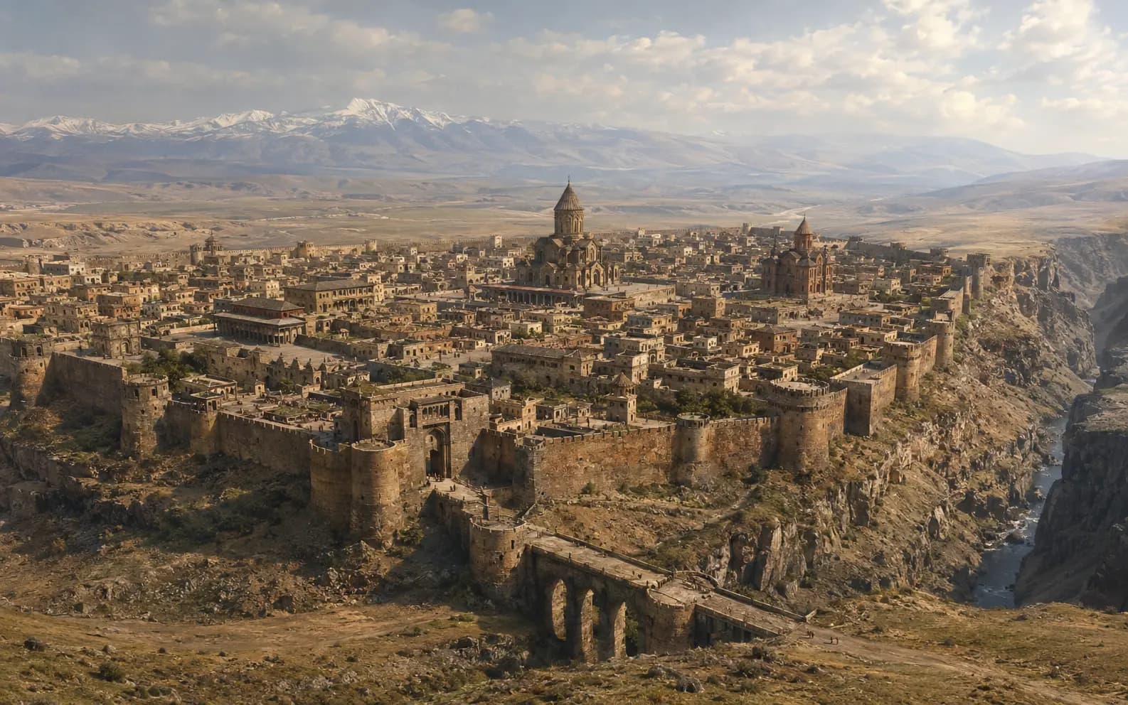
Bagratid Armenia and the City of Ani
The Bagratid kings restored Armenian statehood after two centuries of foreign rule and built Ani into one of the great cities of the medieval world.
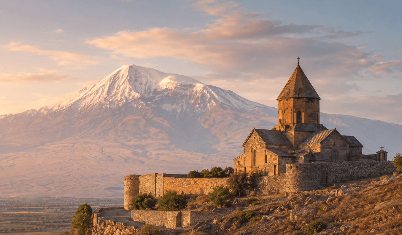
Khor Virap
A working monastery on a low hill above the Ararat plain, built over the pit where tradition says Gregory the Illuminator was imprisoned. It stands on the site of Artashat, an ancient Armenian capital.
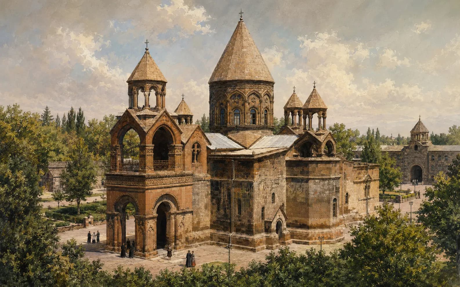
Etchmiadzin Cathedral
The principal church of the Mother See of Holy Etchmiadzin and the seat of the Catholicos of All Armenians. Its tradition reaches back to Armenia's conversion, but most of the building standing today does not.