
Dilijan National Park
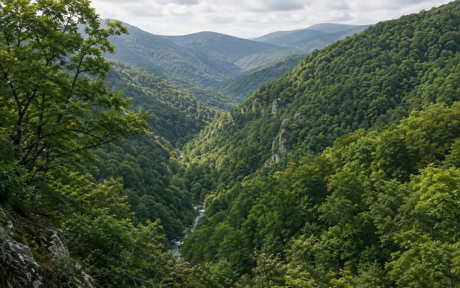
Most photographs of Armenia show bare rock, dry grassland and a mountain on the horizon, and most of the country fits that picture. Dilijan does not. In the north-east of Tavush province, the national park is closed broadleaf forest for kilometre after kilometre. Oak, beech and hornbeam climb the slopes on both sides of the Aghstev river until the trees give out on the ridges. No other place in the republic shows so clearly that the Armenian Highland holds several quite different landscapes. The park is also younger than the guidebooks suggest. The land has been protected since 1958, but for forty-four years it was a strict reserve, and it has been a national park only since 2002. These are two different legal designations covering much the same map, and treating them as one lies behind almost every confusing number published about Dilijan.
- Author
- Armat Editorial Team
- Updated
- Reading time
- 21 min read
In brief
Dilijan National Park covers the forested mountains of Tavush province in north-eastern Armenia, in the basins of the Aghstev and Getik rivers. Protection began in 1958 with the Dilijan state reserve, one of the first three specially protected areas in Soviet Armenia. The national park itself was created by government decree only in 2002, on the reserve's land. Its administration gives the park 33 765 hectares, plus 8 167 hectares of buffer zone. Roughly half the territory is forest, and almost all of that forest is broadleaved: oak, oriental beech and hornbeam, with conifers and a relict yew grove as small exceptions. The town of Dilijan and several villages lie inside the park's outline but outside the protected land.
Key facts
- Kind of place
- Mountain forest national park, and a working forest administration
- Where
- Tavush province, north-eastern Armenia, with small parts in Lori and Gegharkunik
- Protected since
- 1958 as a state reserve; a national park only from 2002
- Area
- 33 765 hectares by the administration's own figure, plus a further 8 167 hectares of buffer zone
- Height
- From about 1070 metres in the valleys upwards; published upper figures range from 2300 to 2900 metres
- The forest
- Oak, oriental beech and hornbeam; conifers are a small fraction, and the yew is a relict
Where the park is
Dilijan National Park lies in the province of Tavush in north-eastern Armenia, with small parts reaching into Lori to the west and Gegharkunik to the south. It covers the mountain country drained by the Aghstev and the Getik, two rivers that flow north-east out of the highland towards the Kura. Its administration places it on the slopes of the Pambak, Areguni, Miapor, Ijevan and Halab ranges. That position explains almost everything about the place: it sits on the wet side of the mountains, facing the Caucasus and away from the Ararat plain.
The town of Dilijan sits in the middle of the park, in the Aghstev valley, and the two are constantly confused. The town is not the park, and the park is not the town. Dilijan has its own history as a spa and, in the Soviet period, as a resort where composers and writers were sent to work. The national park is the forested land around it, and its boundary is drawn around the inhabited ground, not over it.
This matters in practice. A visitor can stand on a street in Dilijan and be outside the protected area, and lists of what the park contains do not always agree with maps of where it ends. A study of the park's forests published in 2021 worked from the cadastral maps of seven communities inside it, which gives a sense of how many people live here. This is a protected area with towns and villages in it, not a wilderness behind a fence.
The ridges, the valleys and the height of it
The park is a set of valleys with high ground between them, not a plateau. The floor of the Aghstev valley lies at around 1070 metres above sea level. That is low by Armenian standards: the surface of Lake Sevan, an hour away over the mountains, is some eight hundred metres higher. From the valley floor the ground climbs onto ridges where the forest thins into meadow. The height range is the one basic figure about Dilijan on which published sources disagree. The park administration gives 1070 to 2900 metres, while general reference works give 1070 to 2300. The difference comes from how much of the open high ground above the treeline is counted as part of the park.
Both ends of that range shape what grows. The lower slopes carry the tallest and densest broadleaf stands. Higher up comes the oak that tolerates altitude, and then subalpine meadow. In a few hours' walk, a single hillside in this park passes through more vegetation belts than most of southern Armenia does in a day. The cause is the steep relief, not the latitude.
The southern edge of the park runs along the Areguni range, whose southern side falls towards Lake Sevan. That ridge divides two of Armenia's best-known protected landscapes, and two completely different ones. To the north, the water drains to the Kura and the slopes are wooded. To the south, it collects in a closed high basin and the shores are treeless. The two national parks are neighbours across a watershed, yet ecologically they have almost nothing in common.
From reserve to national park
Armenia's system of specially protected areas begins in 1958, and Dilijan is one of the first three. The Dilijan, Khosrov Forest and Shikahogh reserves were all established that year, and all three were created to protect forest. The Dilijan state reserve was set up by decree P-341 of the Council of Ministers of the Armenian SSR. Until then, its land had been worked as the Dilijan and Kuybishev forest enterprises. What changed in 1958 was the land's legal purpose, not its ownership: timber ground became protected ground.
In the Soviet system, a state reserve is stricter than a national park. Its job is to keep an ecosystem intact for study, not to receive visitors, and that difference is why this article's chronology has a second date. The national park was created on 21 February 2002 by decree 165 of the Government of the Republic of Armenia, as a state non-commercial organisation established on the basis of the reserve. The two acts are forty-four years apart, and they create different designations.
It is worth keeping the two apart, because almost everything written about Dilijan runs them together. A sentence that dates the park to 1958 is describing the reserve; one that dates it to 2002 is describing the park. Both dates are real, but they belong to different legal acts, and a figure quoted from one period does not describe the other. The area figures in the next section suffer most from this confusion.
One more protected area is easily folded into this story, and it should not be. The yew grove of Akhnabad covers 25 hectares of relict Taxus baccata on a spur of the Miapor range near the village of Aghavnavank, at between 1400 and 1700 metres. It was protected in its own right in 1958, as a sanctuary, and it is not part of the national park. The park's administration manages it, together with a juniper sparse-forest sanctuary of 1807 hectares over in Gegharkunik. Being managed by the park is not the same as being inside it, and neither sanctuary's area belongs in the park's total.
How large it is, and what the figure measures
The park's own administration gives its territory as 33 765 hectares, with a separate buffer zone of 8 167 hectares around it. This article uses that figure, not because it is the largest but because it says what it measures. It is the land held by the national park as an organisation, in Tavush with small parts in Lori and Gegharkunik, and it states the buffer zone separately instead of folding it in.
A second figure circulates far more widely. General reference works, and the structured database most of them draw on, give the park 240 square kilometres, a little over two thirds of the administration's number. Neither the encyclopaedia entries nor the database say which boundary this measures or on what date it was true, and that is exactly the problem. The figure is close to the order of magnitude usually quoted for the Soviet-era reserve. The safest reading is that it measures something different, and that nobody says what.
The rule this article follows is simple: say what the number counts. The park is not the reserve, the buffer zone, the forest enterprise it was made from, the Dilijan municipality or the tourist region that shares its name. Each of these could be measured, and each would give a different answer. A figure with no boundary attached is not a fact about the place.
The forest
Roughly half of the park is under trees, and nearly all of them are broadleaved. A satellite classification of the park for 2019 put broadleaf trees at almost ninety-nine per cent of the forested area, with conifers at little more than one. Calling Dilijan a forest of oak, beech and hornbeam is therefore very nearly a complete description of it.
Three species dominate. They make up the standard mesophilous forest of the Caucasus, and nothing about them is peculiar to Armenia. Oriental beech, Fagus orientalis, holds the moist, shaded slopes and forms the tall closed stands the park is known for. Common hornbeam and oriental hornbeam, Carpinus betulus and Carpinus orientalis, fill the middle ground and the drier edges. Oak takes the harsher sites. Quercus macranthera, the Caucasian oak, grows on the higher and colder ground. Beside it grows a second oak of the eastern Caucasus that sources name differently: Quercus iberica in the older Armenian literature, and a subspecies of Quercus petraea in more recent treatments. The disagreement comes from a revision of the taxonomy; nobody disputes which tree grows there.
The three grow in pure stands and in every possible mixture, and that is what a walk through the park looks like: beech in the hollow, hornbeam on the shoulder, oak on the ridge, and long stretches where all three stand together. Lime, ash and elm grow among them. None of this is unusual for the southern Caucasus. What is unusual is finding it in Armenia, where forest of any kind covers a small fraction of the country.
Conifers are the exception, and keeping them was part of the reason the park was created. Pine and juniper grow in small numbers. The yew, Taxus baccata, a relict of an older and wetter climate, survives in the grove at Akhnabad, which has been protected separately since 1958. The trees there are a few centuries old. That is why the yew appears in almost every description of this forest, even though it covers only a tiny fraction of it.
The plants, and how far to trust the counts
The figure quoted everywhere for the park's flora is 902 species of vascular plants. Of these, 881 are flowering plants; the rest are ferns, gymnosperms, a horsetail and a clubmoss. About 40 of the 902 are described as rare, 29 are listed in the Red Book of the Republic of Armenia, and four are listed in the Red Data Book of the USSR.
That last detail is the revealing one, and it is usually reprinted without comment. A count that uses a Soviet red list to judge rarity must have been put together before 1991. The number may still be broadly right, since a flora does not change completely in a generation. But it is a survey result from one particular period, repeated ever since as if it were permanent, and it says nothing reliable about the park's plants today. This article does not treat it as current.
The same caution applies to the animal figures that travel with it. Almost every description of Dilijan gives around 150 bird species and more than 40 mammal species, always without a date, a surveyor or a method. These are plausible orders of magnitude for a forested protected area of this size in the Caucasus. They should be read as exactly that, a rough scale, and not as measurements.
The animals
The mammals recorded in the park are the forest fauna of the southern Caucasus: brown bear, lynx, wolf, wild boar, roe deer, wildcat, badger, fox and squirrel. A record of presence says what lives in the territory, and it is often made to say more than that. A visitor is unlikely to see a large carnivore in a forest. The animals live here because the habitat is unbroken, which is the point of protecting it, and the park is not a place for watching them.
The Caucasian red deer, Cervus elaphus maral, is the one species here with a documented story rather than just an entry on a list. It was widespread in Armenia's forests in the nineteenth century, died out locally in the 1950s, and is listed as critically endangered in the country's Red Book. In 2013 the environment ministry and WWF Armenia began a programme to bring it back, with a fenced breeding enclosure of about 10 hectares of forest near Parz Lake inside the park. The first founder animals arrived from Iran in 2018, and deer were born there in the same year. Animals bred in the enclosure have since been released into the park itself.
The birds named in the park's own descriptions are the ones a forested highland would be expected to hold: black grouse on the upper edges, raptors over the ridges. The same caution applies to them as to the counts above. What is certain is that the park is continuous woodland on a scale Armenia has very little of. That is a fact about the forest, not about any particular bird in it.
The invertebrates are still being catalogued. In 2026 a caddisfly new to science, Wormaldia dilijanica, was described from specimens taken in a tributary of the Aghstev inside the park during a short survey in May 2025. Its authors noted that Armenia's caddisfly fauna is poorly known and that the country has been largely absent from recent work in the Caucasus. If a short visit to one stream can turn up an undescribed species, the park's species lists should not be read as complete.
Rivers, lakes and springs
Rivers shape the park more than lakes do. The Aghstev is the main one: it rises in the highland and flows north-east through the town of Dilijan and on out of the mountains. The Getik drains the southern part of the territory and joins it beyond the park. Between them they gather a set of short forest tributaries, among them the Haghartsin, the Bldan, the Hovajur and the Shtoghanajur. These small streams, rather than any standing water, hold most of the park's freshwater life.
The lakes are few and small. Parz Lake, in the forest north-east of Dilijan town, is the best known; Gosh Lake lies further east, and there are one or two smaller waters besides. They matter as landscape and as habitat: a handful of small lakes in a mountain forest. That is a better reason to name them than the recreation that has grown up around the largest one. Parz Lake also matters to this article for a separate reason, because the red deer enclosure stands in the forest beside it.
Mineral springs are the third kind of water here, and the oldest reason outsiders came. The mineral waters of the Dilijan area made the town a spa in the nineteenth and twentieth centuries, and the springs come from the same geology that shaped the valleys. They belong more to the region's history than to the park's ecology, and they are mentioned here for completeness, not as a feature of the protected area.
The monastic landscape
This forest has buildings in it, and its monuments are among the best known in Armenia. Haghartsin stands in a side valley in the north of the park, deep in the forest and several kilometres from the nearest road out of the mountains. Jukhtak Vank and Matosavank stand in woodland on the slopes just above Dilijan town, within the protected land. Aghavnavank lies in the east, near the village of the same name and the yew grove. All of these lie inside the boundary as it is drawn.
Goshavank needs more care, and it is the monastery most often listed as the park's own. It stands in the village of Gosh, on the south-eastern side of the territory, and the village is one of the inhabited enclaves that the boundary goes around. On the mapped outline of the protected area, the monastery sits a few hundred metres outside the line, in the village, with park forest on every side. The park administration's own descriptions list Goshavank among the park's monuments, while the mapped boundary puts it just beyond one. Both statements can be defended because they answer different questions, so this article describes the geography and does not choose between them.
This pattern of protected forest wrapped around unprotected settlements is the most useful thing to understand about the human geography here. It explains why the park's area figure leaves out the town, and why pressure from grazing and building comes from inside the outline, not from beyond it. It also explains how a monastery can sit in the middle of the park and still be outside it.
This article deliberately leaves the monasteries' histories aside. Haghartsin and Goshavank are major medieval foundations with their own chronologies, inscriptions and disputes, and each deserves a full article, not a paragraph borrowed from a park's. Here they appear as buildings in a forest, and as evidence that this forest has been lived in and worked for as long as anywhere else in Armenia.
What the forest has been through
The damage done to this park in the nineteen-nineties is recorded more precisely than anything else about it, because researchers went back and measured it from orbit. A study published in 2021 mapped forest density and land cover across the park at eight dates between 1991 and 2019. It used Landsat and Sentinel imagery calibrated against high-resolution photography, and it was the first remote-sensing assessment of any Armenian protected area.
Its findings match the political history. Illegal and unregulated logging began across Armenia's forests in 1992, when the transport and energy blockade left the country with no fuel and a great deal of standing timber. Between 1991 and 1995 the park lost 253 hectares of forest outright, and a further 384 hectares were degraded; the next five years degraded 363 more. Then the trend breaks. From 2002 to 2005, the years immediately after the national park was created, the study recorded 22 hectares of degradation and no measured forest loss at all. The authors attribute this directly to the protection that came with the new status.
Since then the forest has neither recovered nor collapsed. Losses resumed at a lower level in the two periods after 2005. By the last period, 2015 to 2019, the park was regenerating 104 hectares against 45 lost, and the pressure came from settlements, farming and tourism rather than industrial logging. The authors are careful with their own numbers. They counted every degraded patch as human-caused unless they could prove otherwise, and they had no field data on storms or disease. As a result, they say plainly, their figure for human damage is very likely an overestimate.
Visitor pressure has been measured too, by an unusual method. A study published in the Journal of Ecotourism used terrestrial molluscs as indicators of tourism impact inside the park. Land snails do not move far and react quickly to trampling and disturbance. The researchers compared heavily visited plots with control plots and found significantly lower species richness and abundance where visitor numbers were high, with the gap widest in autumn. All five rare species they found occurred only in the low-traffic plots. It is a narrow finding about one group of animals in one park, but it is specific, dated evidence of a kind that general warnings about tourism lack.
Why Dilijan does not look like the rest of Armenia
Armenia is a dry country. The Ararat plain is irrigated semi-desert, the Gegham and Vardenis uplands are treeless volcanic pasture, the Vorotan and Azat gorges cut through bare rock, and the shores of Lake Sevan are covered in grass, not woodland. Against all that, the north-east is an exception. It faces the moist air coming off the Caucasus and catches rain that the interior misses, so it can grow the closed broadleaf forest that the rest of the country cannot support.
It is easy to underestimate how exceptional this is. Forest covers a small share of Armenia, and most of it lies in the north-east and the far south. A single protected area of this size therefore holds a meaningful fraction of the country's continuous woodland. Dilijan is not just one more scenic valley. It is a large part of a scarce habitat, in a country where that scarcity is the whole point.
That is why this park is worth reading about as well as walking in. A visitor who sees Khor Virap, Garni and Sevan has seen the Armenia of the photographs, and one climate. A visitor who then stands under beech trees in the Aghstev valley has seen the other. They have learned something about the Armenian Highland that no amount of time on the plain would teach: it is a set of very different countries packed against each other along a few hundred kilometres of mountain.
Important dates
1958
Armenia's first specially protected areas are created: the Dilijan, Khosrov Forest and Shikahogh reserves, all of them for forest. The Dilijan state reserve is established by decree P-341 of the Council of Ministers of the Armenian SSR, on land previously worked as the Dilijan and Kuybishev forest enterprises.
1958
The yew grove of Akhnabad, 25 hectares of relict Taxus baccata on the Miapor range at between 1400 and 1700 metres, is protected as a sanctuary in its own right. Today it is administered by the Dilijan park organisation, but it has never been part of the park's own area.
1992
Illegal and unregulated logging begins across Armenia's forests with the transport and energy blockade of the country. The years that follow cost Dilijan more forest than any period since.
2002
Dilijan National Park is established on 21 February by decree 165 of the Government of the Republic of Armenia, as a state non-commercial organisation on the basis of the 1958 reserve.
2013
The environment ministry and WWF Armenia begin a programme to return the Caucasian red deer, locally extinct since the 1950s, to Armenia, with Dilijan as the site.
2018
The first founder red deer arrive from Iran into a fenced enclosure of about 10 hectares of forest near Parz Lake, and the first calf is born there in the same year.
2021
A satellite study of the park's forest and land cover from 1991 to 2019 is published. It is the first remote-sensing assessment of any specially protected area in Armenia.
2026
A caddisfly new to science, Wormaldia dilijanica, is described from a tributary of the Aghstev inside the park, from specimens collected during a short survey in May 2025.
Why Dilijan National Park matters
Dilijan protects a habitat Armenia has very little of. Closed broadleaf mountain forest is the normal vegetation of the wetter southern Caucasus but an exception in this republic, so a single protected area of this size in the north-east holds a substantial share of the country's continuous woodland. What is conserved here is the last large piece of a forest type that the rest of the country is too dry to grow.
Dilijan is also the clearest example in Armenia of what protection actually achieves, because here both the before and the after were measured. The forest was cut hard through the nineteen-nineties. The national park was declared in 2002, and satellite imagery shows clearance stopping almost immediately afterwards, with regrowth outpacing loss by the end of the study period. Very few protected areas anywhere can point to a legal act and a trend that turns at the same date. This one can, and that tells a reader more than any description of the view.
Interesting facts
- 01The town of Dilijan is not in the national park. The boundary is drawn around the inhabited ground, so a visitor standing in the town centre is outside the protected area, with park forest on every side.
- 02Almost all of Dilijan's forest is broadleaved: a satellite classification for 2019 put conifers at little more than one per cent of the forested area, in a park often described for its yews.
- 03The much-quoted flora of 902 vascular plant species includes four listed in the Red Data Book of the USSR. That detail dates the survey to before 1991, however often the figure is reprinted as current.
- 04The yew grove of Akhnabad is 25 hectares and is not part of the national park. It is a separate sanctuary, protected in the same year as the reserve and managed today by the park organisation.
- 05The park's invertebrates are still being described: a caddisfly unknown to science, Wormaldia dilijanica, was named in 2026 from a single stream inside the boundary.
Sources
- Dilijan National Park — "Dilijan" National Park SNCO — NABU Armenia (Naturschutzbund Deutschland), Yerevan Visit sourceThe park administration's own description of itself, republished by the conservation organisation that works with it — which is what it is cited as, since the ministry's own page for the national parks has moved and no longer resolves. It carries the whole of this article's chronology and its area: the reserve of 1958 established by decree P-341 of the Council of Ministers of the Armenian SSR on the ground of the former Dilijan and Kuybishev forest enterprises; the national park established on 21 February 2002 by decree 165 of the Government of the Republic of Armenia; 33,765 hectares with a separate buffer zone of 8,167; the provinces; the Pambak, Areguni, Miapor, Ijevan and Halab ranges; the Aghstev and Getik basins; the elevation range of 1,070 to 2,900 metres; and beech, yew and oak as the protected objects. It is the only source found that states what its area figure measures, which is why the article uses that figure and not the commoner one.
- State sanctuaries of the Republic of Armenia — Ministry of Environment of the Republic of Armenia, Yerevan Visit sourceThe official register of Armenia's sanctuaries, and the source for the distinction the article draws twice. The Akhnabad yew grove is 25 hectares, was protected on 13 September 1958, lies on the Tsaghkot spur of the Miapor range near Aghavnavank at 1,400 to 1,700 metres, and protects relict European yew — as a sanctuary in its own right, administered by the Dilijan national park organisation rather than included in the park. The same page lists a juniper sparse-forest sanctuary of 1,807 hectares in Gegharkunik under the same administration. Neither area belongs in the park's own.
- Nathalie Morin, Antoine Masse, Christophe Sannier, Martin Siklar, Norman Kiesslich, Hovik Sayadyan, Loic Faucqueur and Michaela Seewald. Development and Application of Earth Observation Based Machine Learning Methods for Characterizing Forest and Land Cover Change in Dilijan National Park of Armenia between 1991 and 2019 — Remote Sensing 13(15), 2942, MDPI, 2021 Visit sourceThe strongest source in this bibliography and the whole basis of the conservation section: the first remote-sensing assessment of any specially protected area in Armenia, produced for UNDP Armenia from Landsat and Sentinel-2 series at eight dates. Supports the forest composition (98.85 per cent broadleaved against 1.15 per cent coniferous in 2019), the land-cover breakdown (natural vegetation about 93.7 per cent of the area with more than half of that forest, agriculture 4.62, settlements and primary roads 1.19), the perturbation table quoted in the article (253 hectares of forest lost and 384 degraded in 1991-1995, 363 degraded in 1995-2000, 22 degraded and none lost in 2002-2005, 104 hectares regenerating against 45 lost in 2015-2019), the 1958 reserve as one of Armenia's first three, the start of illegal logging in 1992 with the blockade, the seven communities whose cadastral maps the study used, and the continuing pressure from settlements, agriculture and tourism. Cited also for the authors' own caveat, which the article repeats: degradation was attributed to human causes unless proven natural, and they say plainly that their anthropogenic figure is therefore very likely an overestimate.
- M. Arzumanyan, A. Ghrmajyan, V. Muradyan, T. Tammaru and M. Arakelyan. Molluscs as bioindicators of tourism pressure on ecosystems of Dilijan National Park, Armenia — Journal of Ecotourism 22(4), 566-577, Taylor and Francis, 2023 Visit sourceThe only measured evidence found for recreation pressure inside this park, and cited for exactly what it measured rather than as a general warning about tourism: terrestrial molluscs on visited plots against control plots, with significantly lower diversity, species richness and abundance where visitor intensity was high, the gap widest in autumn, and all five rare species among the thirty-one detected occurring only in the low-traffic plots. Published online in 2022 and issued in the 2023 volume.
- Halil Ibrahimi, Astrit Bilalli, Milaim Musliu, Vardan Asatryan and Marine Dallakyan. Wormaldia dilijanica sp. nov., a new caddisfly species (Trichoptera, Philopotamidae) from the Dilijan National Park in Armenia — Ecologica Montenegrina 94, 76-83, Institute for Biodiversity and Ecology, 2026 Visit sourceCited for one point, which is the point: a short field survey of a single tributary of the Aghstev inside the park in May 2025 produced a species new to science, and the authors state that Armenia's caddisfly fauna is poorly known and that the country has been largely absent from recent Caucasus work. This is the evidence for the article's refusal to treat the park's circulating species counts as complete.
- Reintroduction of the Caucasian Red Deer to Armenia — Caucasus Nature Fund, Tbilisi Visit sourceA project page from one of the programme's funders, cited only for the programme's own facts and not for anything about the park's wider fauna: the red deer locally extinct in Armenia in the 1950s and listed as critically endangered nationally, the reintroduction begun in 2013 by the environment ministry with WWF Armenia, the breeding enclosure of ten hectares of forest near Parz Lake inside the park, three founder animals brought from Iran in April 2018, and the first calf born in June of that year. Later releases into the park itself are reported by the same programme's partners; the article states that they happened without giving a headcount, because the published numbers differ between accounts.
- Dilijan National Park (relation 7594000) — OpenStreetMap Visit sourceThe protected-area outline as mapped, tagged boundary=protected_area with protect_class 2 and linked to the same Wikidata item as the encyclopaedia entries below. Cited as a community-maintained representation and explicitly not as the legal boundary — which is the distinction the article makes rather than hides. It is the source for the enclave pattern (the town of Dilijan and the village of Gosh lying inside the outline but outside the protected land, Goshavank a few hundred metres beyond the line while Haghartsin, Jukhtak Vank, Matosavank and Aghavnavank are well within it) and for the point recorded in geo.ts, whose provenance is set out there in full.
- Dilijan National Park — Wikipedia, Wikimedia Foundation Visit sourceCited as the widest carrier of the figures this article examines, not as an authority for them. It is where the 240 square kilometres, the 902 vascular plants with 29 in Armenia's Red Book, the roughly 150 bird species, the more than 40 mammal species and the 1,070 to 2,300 metre elevation range reach most readers, and none of them is attributed there to a dated survey. The article's point about the flora count is drawn from the figure's own wording, which includes four species listed in the Red Data Book of the USSR and therefore cannot postdate 1991.
- Dilijan National Park (Q1984244) — Wikidata, Wikimedia Foundation Visit sourceThe structured record behind most general reference surfaces, cited on the same terms as the entry above. It states the area as 240 square kilometres and the elevation as 1,070 to 2,300 metres with neither a boundary nor a date attached, and carries a coordinate at 40.65639, 45.02139 which does fall inside the park but lies some twelve kilometres from its centroid — which is why geo.ts records a computed centroid rather than adopting this point.
Related articles
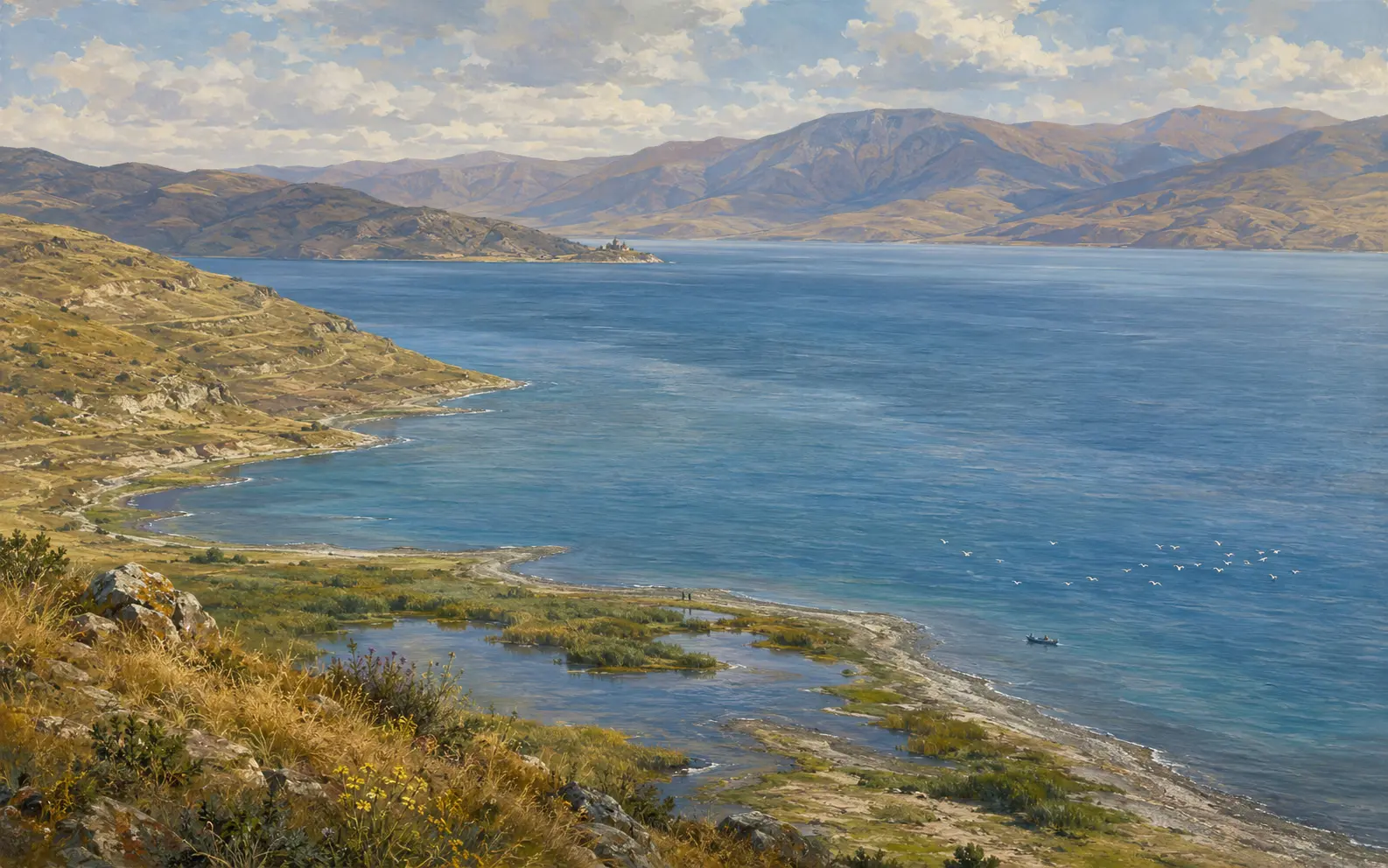
Lake Sevan
The great high-altitude lake of eastern Armenia: a closed mountain basin with many rivers flowing in and one flowing out. Its shoreline was deliberately lowered by nineteen metres in the twentieth century, and people have been arguing it back up ever since.
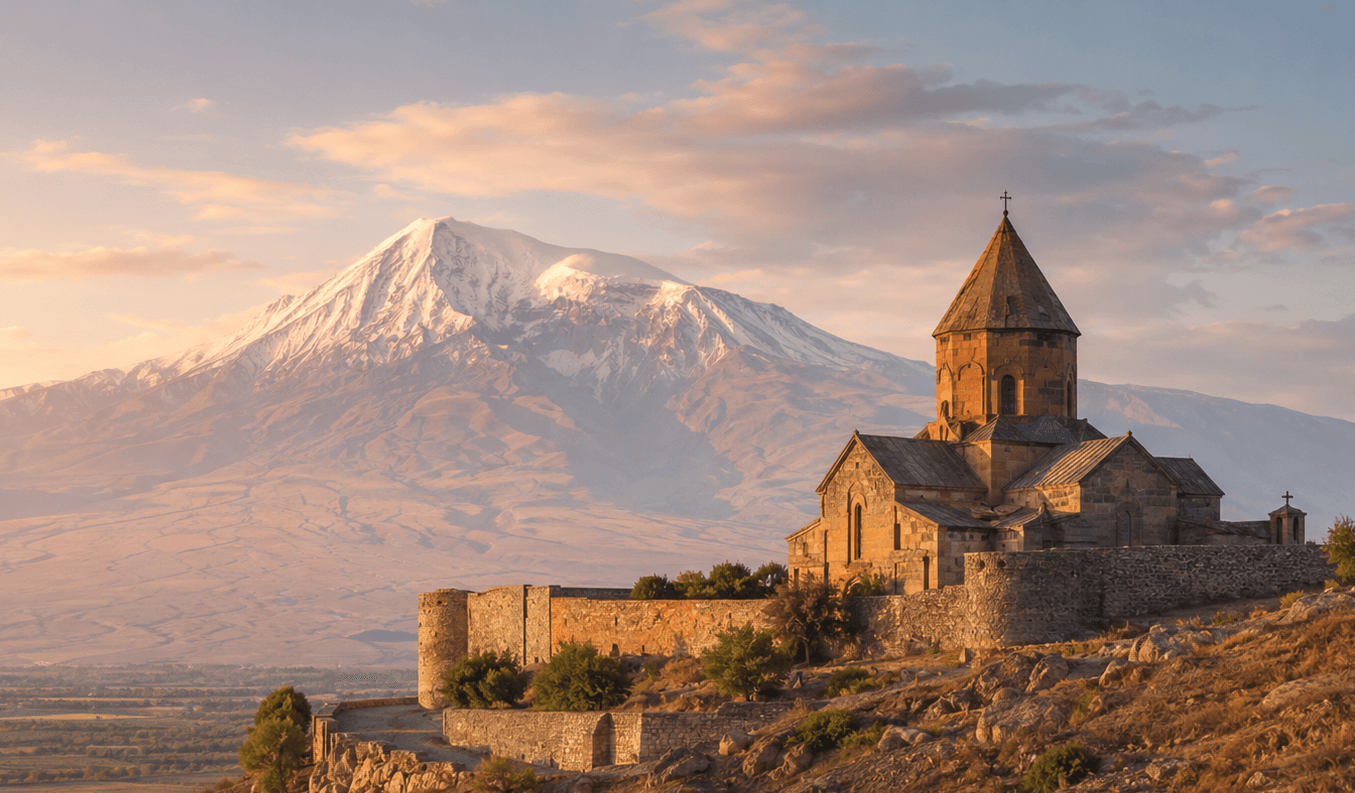
Khor Virap
A working monastery on a low hill above the Ararat plain, built over the pit where tradition says Gregory the Illuminator was imprisoned. It stands on the site of Artashat, an ancient Armenian capital.
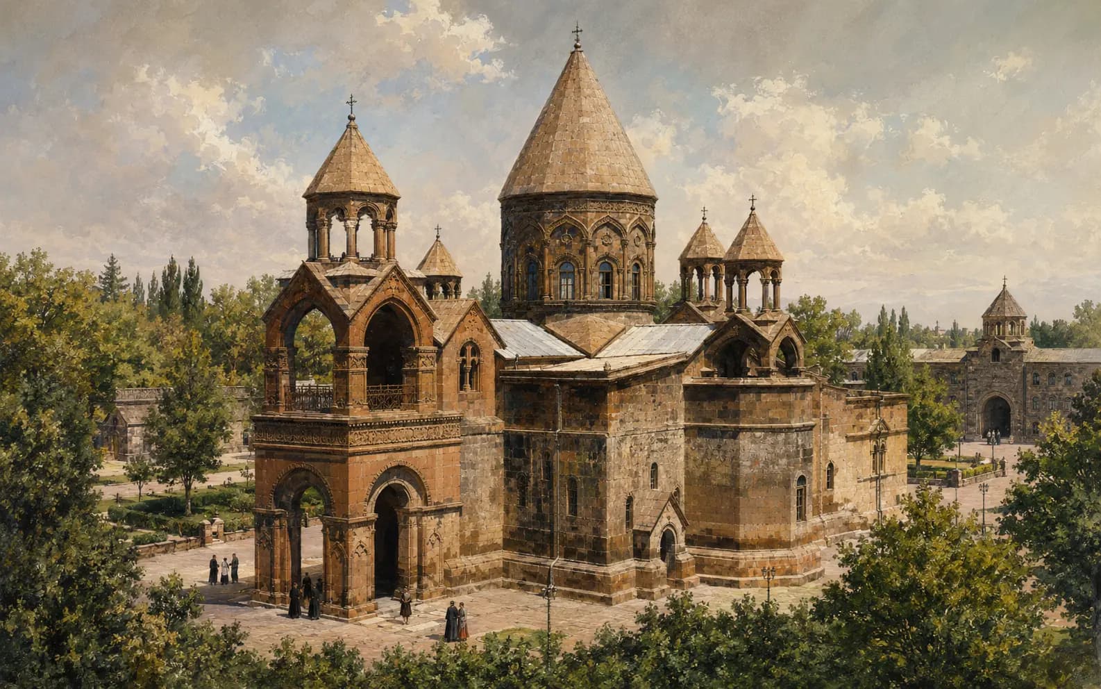
Etchmiadzin Cathedral
The principal church of the Mother See of Holy Etchmiadzin and the seat of the Catholicos of All Armenians. Its tradition reaches back to Armenia's conversion, but most of the building standing today does not.