Places
Khor Virap
A working monastery on a low hill above the Ararat plain, built over the pit where tradition says Gregory the Illuminator was imprisoned. It stands on the site of Artashat, an ancient Armenian capital.
8 min readRead the article
This section explains places in Armenia the way the rest of the archive explains its subjects: what a site is, when it was built, what happened there, and why it still matters. It is written for readers who want to understand a place, whether or not they are standing in front of it.
13 articles available
Featured place
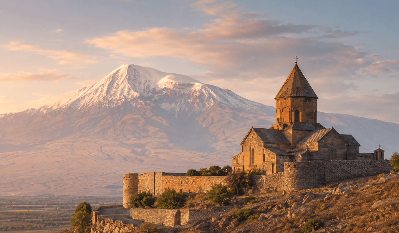
A working monastery on a low hill above the Ararat plain, built over the pit where tradition says Gregory the Illuminator was imprisoned. It stands on the site of Artashat, an ancient Armenian capital.
8 min read · Updated 5 August 2026
All places
The section is new and grows article by article. Each entry explains one place, and links to the history, writers and works it belongs with.
A working monastery on a low hill above the Ararat plain, built over the pit where tradition says Gregory the Illuminator was imprisoned. It stands on the site of Artashat, an ancient Armenian capital.
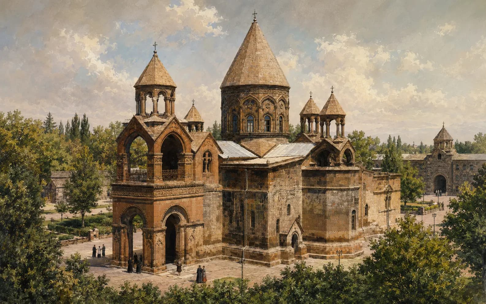
The principal church of the Mother See of Holy Etchmiadzin and the seat of the Catholicos of All Armenians. Its tradition reaches back to Armenia's conversion, but most of the building standing today does not.
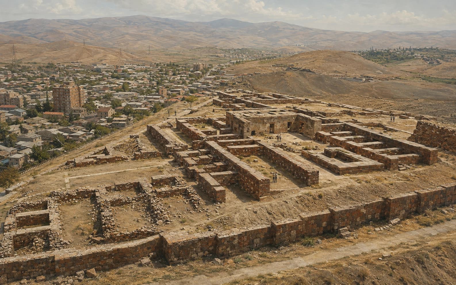
An Urartian citadel on the hill of Arin Berd in south-eastern Yerevan. It was built by King Argishti I and named in a cuneiform inscription that the modern city treats as its own birth certificate.
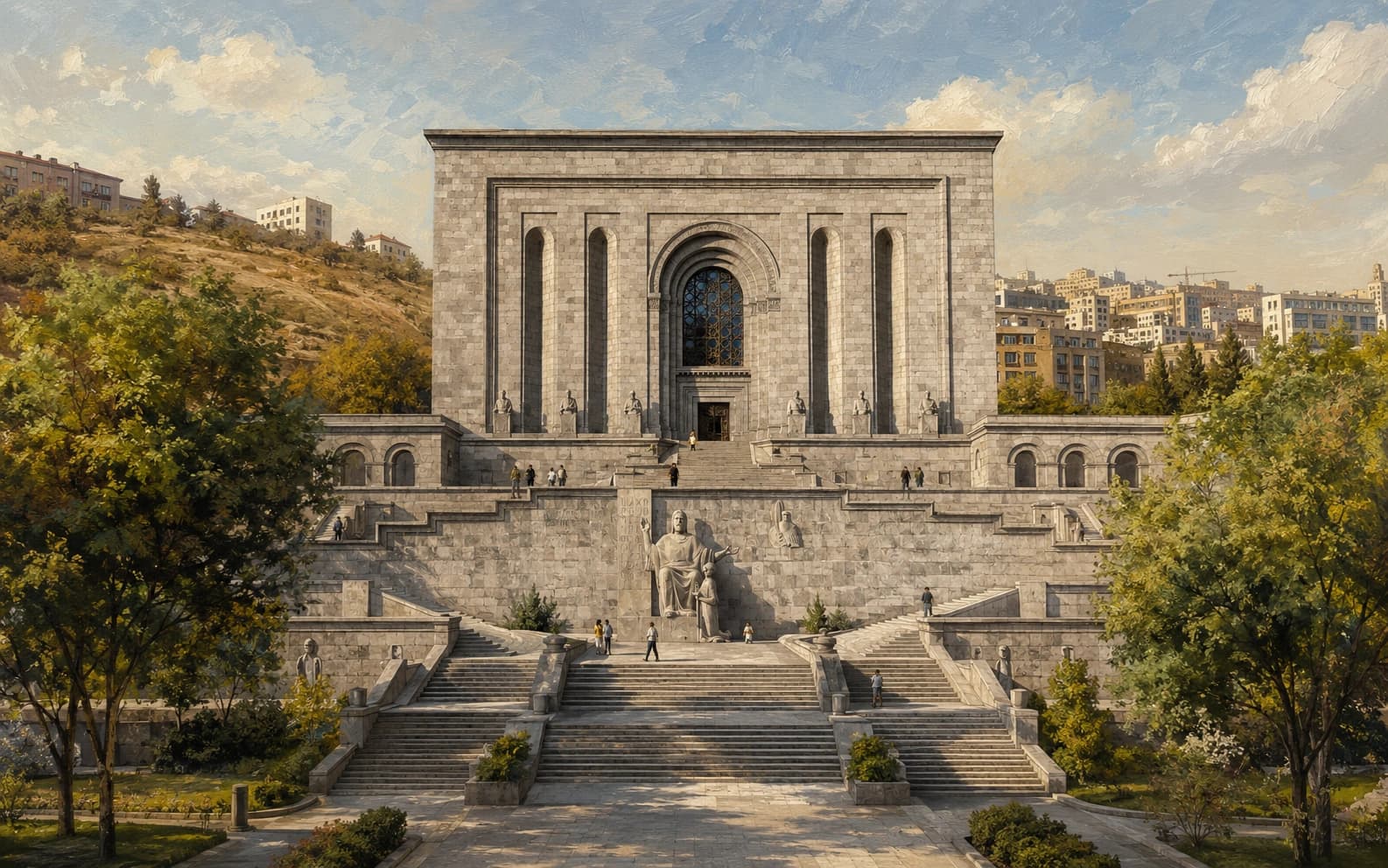
The national repository of ancient manuscripts in Yerevan: an archive, a research institute and a museum in one. Its collection was built up in monasteries over centuries and brought here in the twentieth.
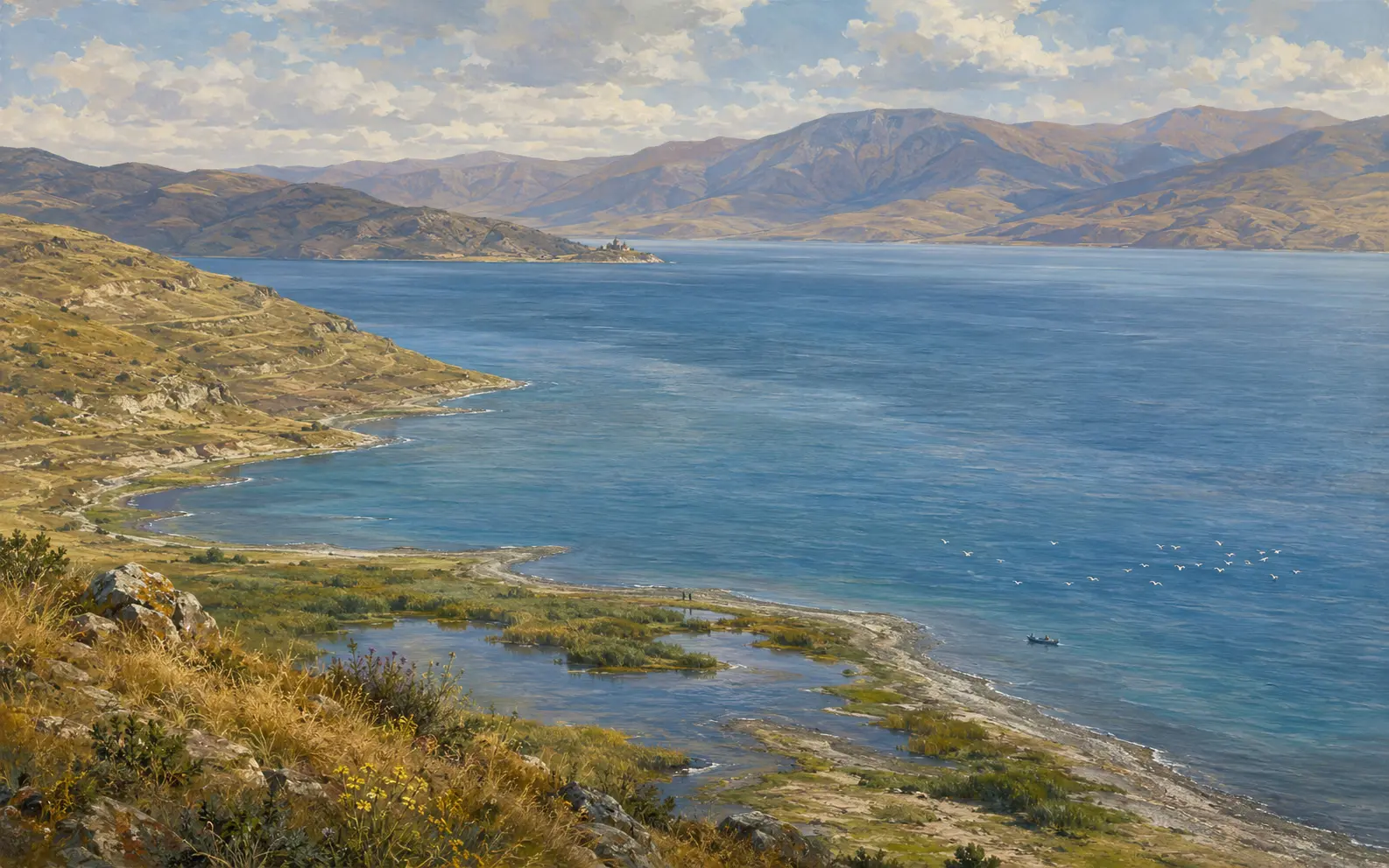
The great high-altitude lake of eastern Armenia: a closed mountain basin with many rivers flowing in and one flowing out. Its shoreline was deliberately lowered by nineteen metres in the twentieth century, and people have been arguing it back up ever since.
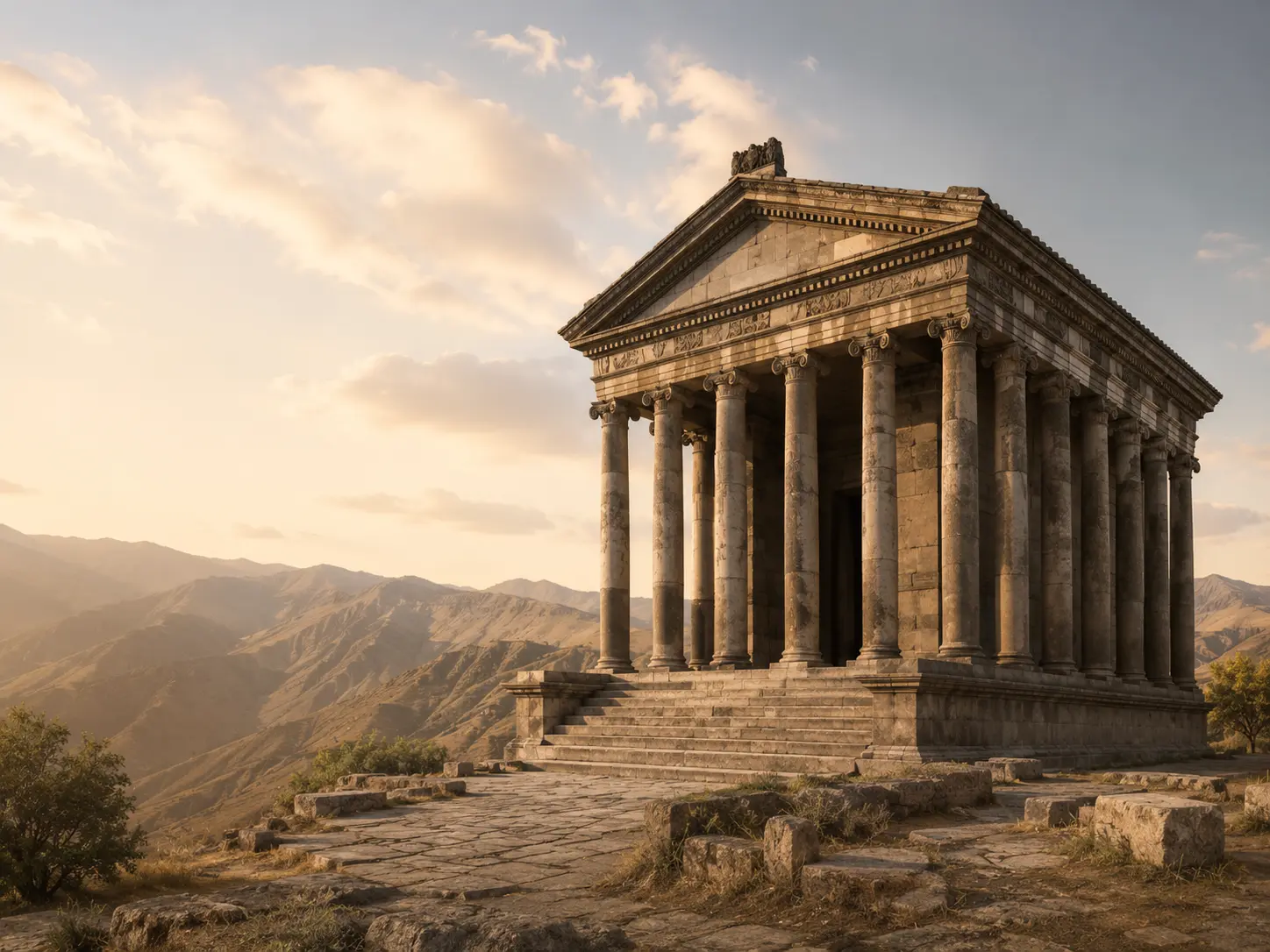
A colonnaded classical building on a promontory above the Azat gorge, the only one of its kind left in Armenia. An earthquake brought it down, and in the twentieth century it was put back up from the stones that fell.
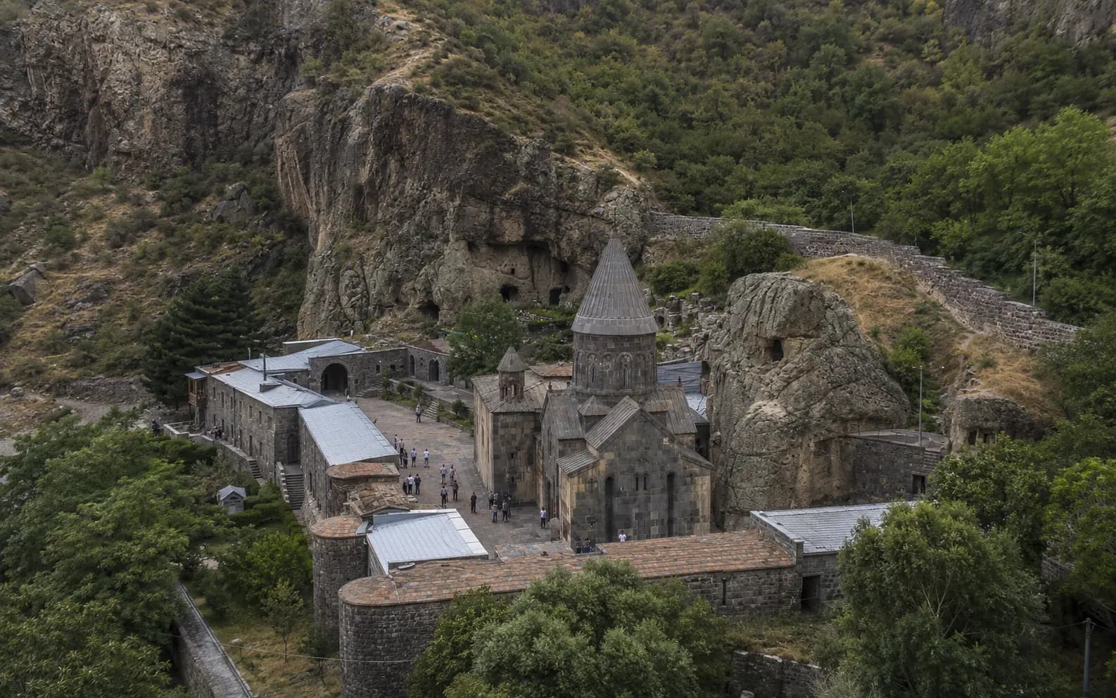
A medieval monastery at the head of a gorge in the upper Azat valley. Half of it is built of masonry, half is cut into the cliff behind, and it is named after a spear it no longer holds.
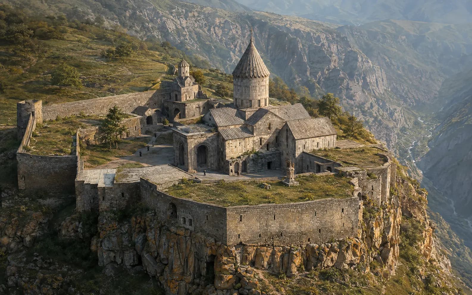
A monastery on a basalt shelf above the Vorotan gorge in Syunik. It was the seat of a bishop, home to the best-known school in medieval Armenia, and the place where a tenth-century stone column still rocks on its base.
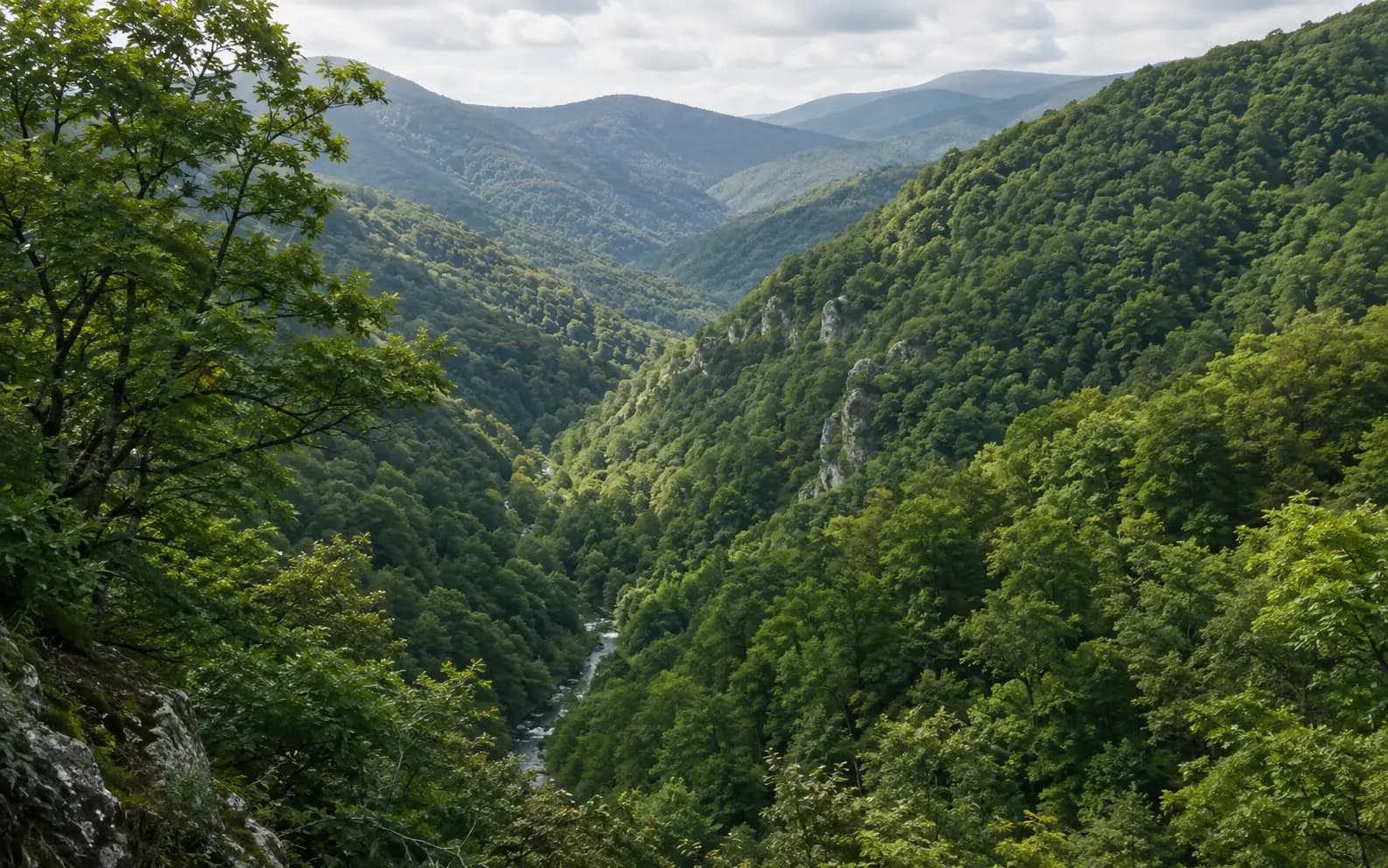
The forested protected area of north-eastern Armenia: oak, beech and hornbeam on the ridges above the Aghstev. It became a national park in 2002, on a reserve created in 1958, and it looks less like the Armenia of the photographs than any other part of the country.
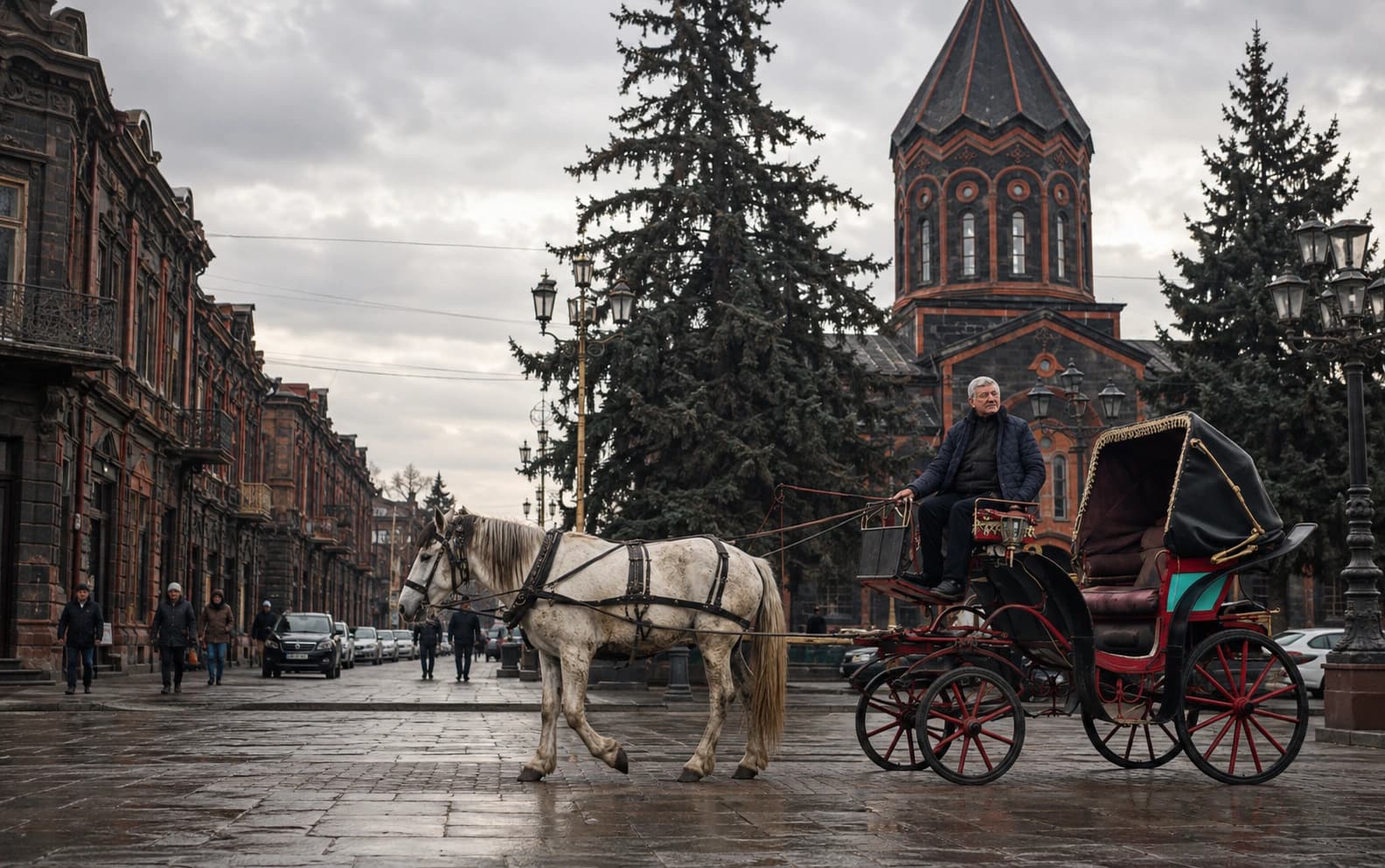
Armenia's second city, on the Shirak plain in the north-west. A settlement that became the Russian garrison town of Alexandropol and then Soviet Leninakan, it still has the largest surviving nineteenth-century urban fabric in the country.
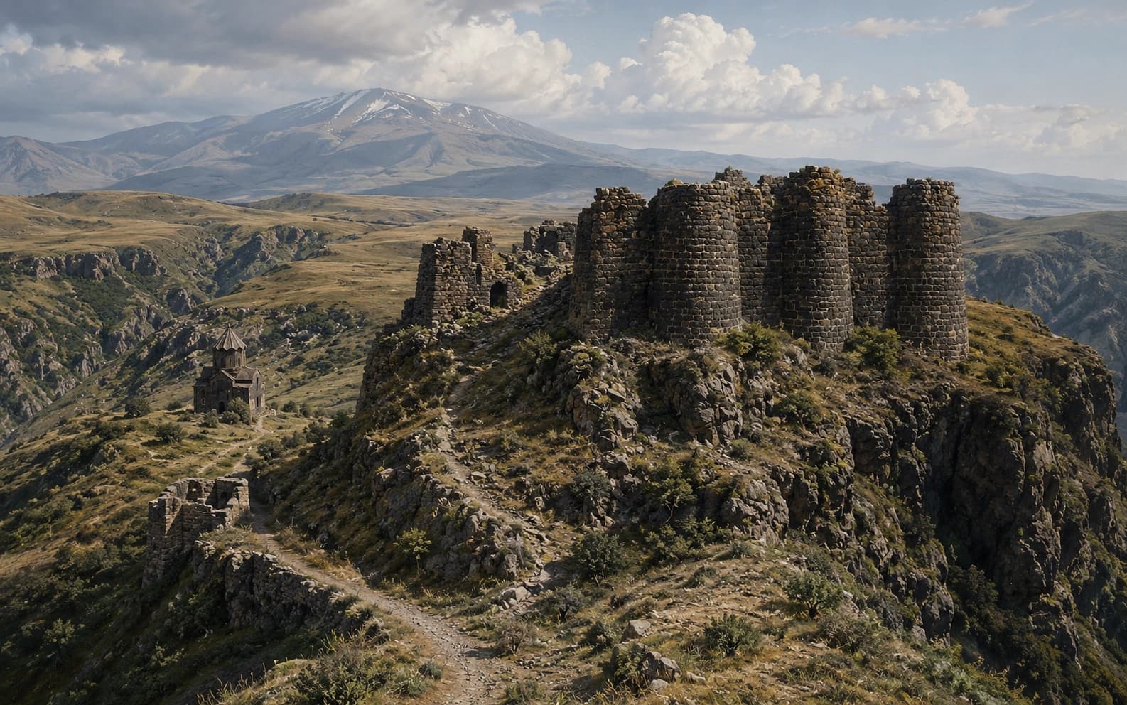
A ruined medieval stronghold high on the southern side of Mount Aragats, on a spur between two gorges. It has a stone castle, a ring of walls, a bathhouse and a piped water supply, plus a church of 1026 — the only building on the site with a secure date.
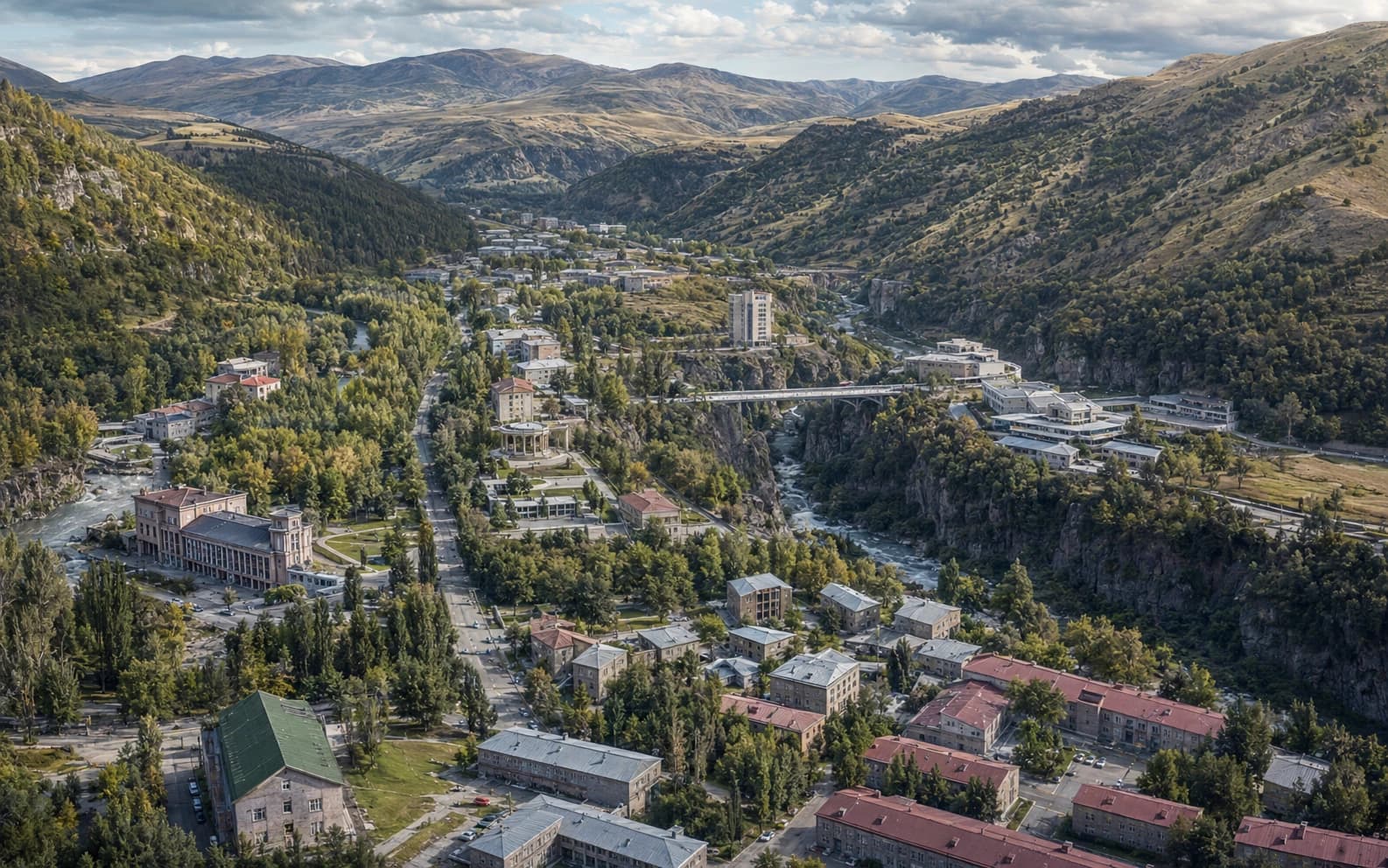
A spa town on a high plateau in Vayots Dzor, built in the twentieth century around thermal mineral springs in the gorge of the Arpa. Its name is simply the ordinary Armenian word for a warm spring.
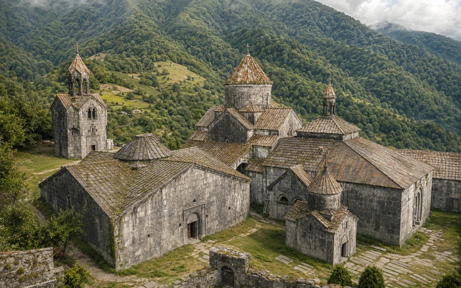
A Bagratid foundation above the Debed gorge that went on being built for three hundred years, and the buildings that show what it was for.